|
|
|
| FL Maps > County > Flagler |
Click on a thumbnail image to view a full size version of that map.
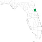
Flagler County is Florida's 53rd county, established on April 28, 1917, from segments of St. Johns County and Volusia County. It gains its name from Henry Morrison Flagler (1830-1913), a Northern businessman who developed much of Florida's east coast. The building of his railroad, the Florida East Coast Railway, and numerous hotels served as the seeds for much of what exists today. Bunnell is the county seat.
For earlier maps of this area, visit the St. Johns County and Volusia County map galleries.
|
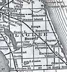
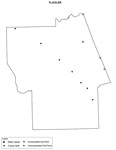
Flagler County,
1920 |

|
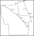
Flagler County,
1920 |
|
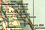
Flagler County,
1921 |
|
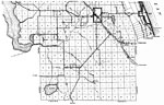
Flagler County,
1932 |
|
North Flagler,
1936 |
|
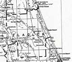
South Flagler,
1936 |
|
Locater Map of Flagler County,
2008 |
|
Clipart Collection: Flagler County Maps in 50 Colors,
2008 |
|
Plain Frames Collection: Flagler County Maps in 30 Colors,
2008 |
|
Fancy Frames Collection: Flagler County Maps in 30 styles,
2008 |

|
Florida Photo Collection: Flagler County Maps in 30 styles,
2008 |
|
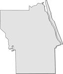
Florida Waterways: Flagler County Outline,
2008 |
|
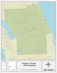
Florida Waterways: Flagler County ,
2008 |
|
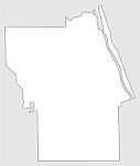
Florida Waterways: Flagler County Outline without Labels,
2008 |

|
Flagler "Abstract" Style Maps in 30 Styles,
2008 |

|
Flagler County "Fun" Maps in 30 Styles,
2008 |

|
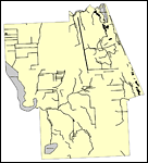
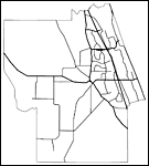
Flagler County Cities with Labels,
2009 |
|
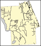
Flagler County Cities Outline,
2009 |
|
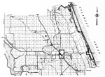
Flagler County Road Network- Black and White,
2009 |
|
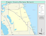
Flagler County Railway Network- Black and White,
2009 |
|
Flagler County Railway Network- Color,
2009 |
|
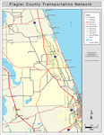
Flagler County Road Network- Color,
2009 |
| FL Maps > County > Flagler |
Maps ETC
is a part of the
Educational Technology Clearinghouse
Produced by the
Florida Center for Instructional Technology
© 2007
College of Education
,
University of South Florida