|
|
|
| FL Maps > County > Nassau |
Click on a thumbnail image to view a full size version of that map.
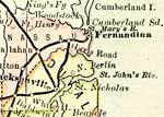
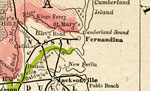
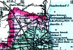
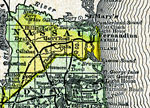
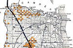
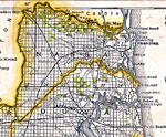
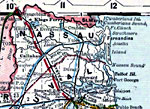
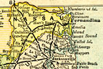
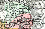
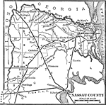
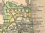
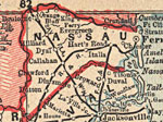
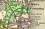
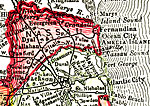
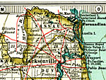
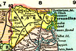
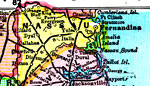
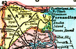
Nassau County is Florida's 10th county, established on December 29, 1824, from a segment of St. Johns County. It gains its name from the Nassau River and Nassau Sound, which act as a natural border between Nassau and Duval counties. Fernandina Beach, settled in 1567 by Spaniards, is the county seat. It claims to be the second oldest city in the United States.
For earlier maps of this area, visit the St. Johns County map gallery.
|
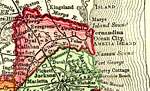
Nassau County,
1883 |
|
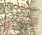
Nassau County,
1886 |
|
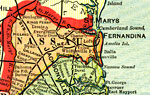
Nassau County,
1886 |
|
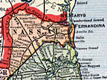
Nassau County,
1888 |
|
Nassau County,
1888 |
|
Nassau County,
1888 |
|
Nassau County,
1889 |
|
Nassau County,
1890 |
|
Nassau County,
1890 |
|
Nassau County,
1890 |
|
Nassau County,
1892 |
|
Nassau County,
1893 |
|
Nassau County,
1894 |
|
Nassau County,
1895 |
|
Nassau County,
1897 |
|
Nassau County,
1898 |
|
Nassau County,
1898 |
|
Nassau County,
1898 |
|
Nassau County,
1899 |
|
Nassau County,
1900 |
|
Nassau County,
1900 |
|
Florida Railroads - Nassau County,
1900 |
|
Nassau County,
1902 |
|
Nassau County,
1902 |
|
Nassau County,
1904 |
| First | Previous | Next | Last |
| FL Maps > County > Nassau |
Maps ETC
is a part of the
Educational Technology Clearinghouse
Produced by the
Florida Center for Instructional Technology
© 2007
College of Education
,
University of South Florida