|
|
|
| FL Maps > County > Osceola |
Click on a thumbnail image to view a full size version of that map.
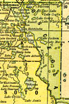
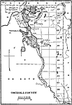
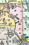
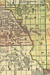
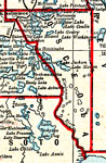
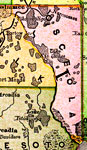
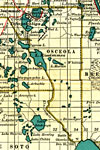
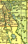
Osceola County is Florida's 40th county, established on May 12, 1887, from segments of Orange County and Brevard County. It is named after Osceola, a famous leader of the Seminole Indians. He strongly believed in the right of his people to be free and retain possession of their native lands. He was captured and imprisoned under a flag of truce and died as a hero not long afterwards. Kissimmee is the county seat.
For earlier maps of this area, visit the Orange County and Brevard County map galleries.
|
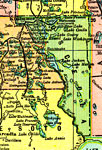
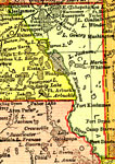
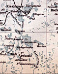
Osceola County,
1886 |

|
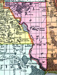
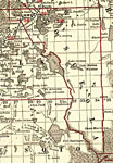
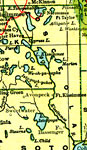
Osceola County,
1888 |
|
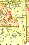
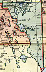
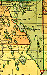
Osceola County,
1888 |
|
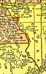
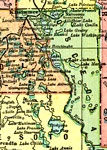
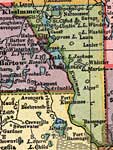
Osecola County,
1888 |
|
Osceola County,
1889 |
|
Osceola County,
1890 |
|
Osceola County,
1890 |
|
Osceola County,
1890 |
|
Osceola County,
1892 |
|
Osceola County,
1893 |
|
Osceola County,
1894 |
|
Osceola County,
1897 |
|
Osceola County,
1898 |
|
Osceola County,
1898 |
|
Osceola County,
1898 |
|
Osceola County,
1899 |
|
Osceola County,
1900 |
|
Osceola County,
1900 |
|
Florida Railroads - Osceola County,
1900 |
|
Osceola County,
1902 |
|
Osceola County,
1904 |
|
Osceola County,
1904 |
|
Osceola County,
1907 |
|
Osceola County,
1909 |
|
Osceola County,
1910 |
| Next | Last |
| FL Maps > County > Osceola |
Maps ETC
is a part of the
Educational Technology Clearinghouse
Produced by the
Florida Center for Instructional Technology
© 2007
College of Education
,
University of South Florida