|
|
|
| FL Maps > Local > Dade |
Click on a thumbnail image to view a full size version of that map.
|
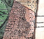
Dade County - North,
1856 |
|
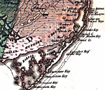
Dade County - South,
1856 |
|
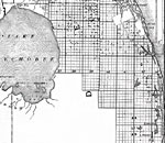
Dade County - Northern portion,
1888 |
|
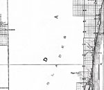
Dade County - Middle portion,
1888 |
|
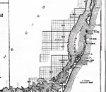
Dade County - Southern portion,
1888 |
|
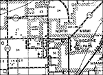
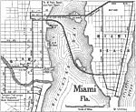
Miami Florida,
1922 |
|
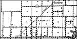
Aladdin,
1936 |
|
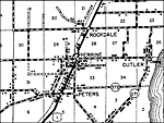
Cutler,
1936
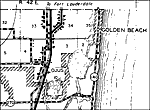
Golden Beach,
1936 |
|
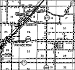
Goulds,
1936 |
|
Homestead,
1936 |
|
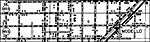
Kendall,
1936 |
|
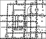
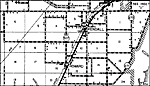
Modello,
1936 |
|
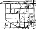
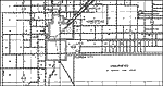
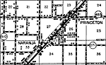
Naranja,
1936 |
| FL Maps > Local > Dade |
Maps ETC
is a part of the
Educational Technology Clearinghouse
Produced by the
Florida Center for Instructional Technology
© 2007
College of Education
,
University of South Florida