|
|
|
| FL Maps > Local > DeSoto |
Click on a thumbnail image to view a full size version of that map.
|
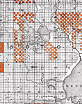
DeSoto County - East side,
1888 |
|
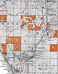
DeSoto County - West side,
1888 |
|
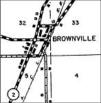
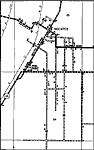
Brownville,
1936 |
|
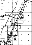
Brownville 2,
1936
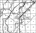
Fort Ogden,
1936 |
|
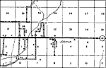
Joshua,
1936 |
|
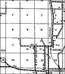
Lansing,
1936 |
|
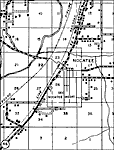
Nocatee,
1936 |
|
Nocatee 2,
1936
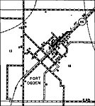
Fort Ogden 2,
1936 |
|
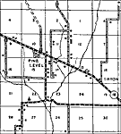
Pine Level,
1936 |
| FL Maps > Local > DeSoto |
Maps ETC
is a part of the
Educational Technology Clearinghouse
Produced by the
Florida Center for Instructional Technology
© 2007
College of Education
,
University of South Florida