|
|
|
| FL Maps > Local > Clay |
Click on a thumbnail image to view a full size version of that map.
|
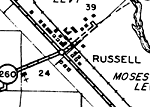
Detail - Highway and Transportation Map of Clay County,
1940 |
|
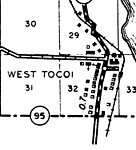
Detail - Highway and Transportation Map of Clay County,
1940 |

|
Camp Blanding,
1949 |

|
Keystone Heights,
1949 |
|
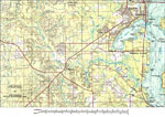
Clay County,
1980 |
| First | Previous |
| FL Maps > Local > Clay |
Maps ETC
is a part of the
Educational Technology Clearinghouse
Produced by the
Florida Center for Instructional Technology
© 2007
College of Education
,
University of South Florida