|
|
|
| FL Maps > Local > Lee |
Click on a thumbnail image to view a full size version of that map.
|
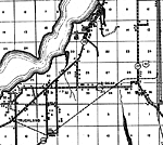
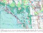
Lee County - East side,
1888 |
|
Lee County - West side,
1888 |
|
Alva,
1936 |
|
Bayshore,
1936 |
|
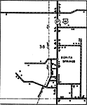
Bonita Springs Insert,
1936 |
|
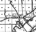
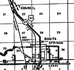
Bonita Springs,
1936
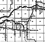
Buckingham,
1936 |
|
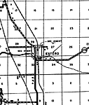
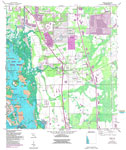
Estero,
1936 |
|
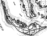
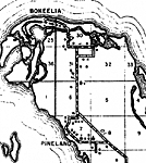
Pineland,
1936 |
|
Truckland,
1936 |
|
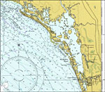
Estero Bay,
1977 |
|
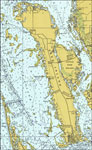
Pine Island,
1977 |
|
Sanibel Island,
1977 |
|
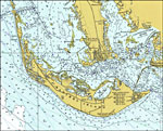
Estero Island,
1985 |
|
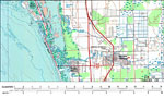
Bonita Springs,
1985 |
|
Estero Quadrangle,
1987 |
|
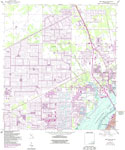
Fort Myers SW,
1987 |
|
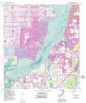
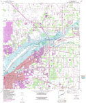
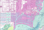
Fort Myers,
1987 |
|
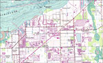
Fort Myers NW,
1987 |
|
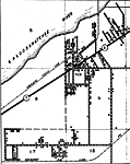
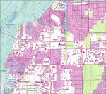
Ft. Myers SW Detail 1,
1987 |
|
Ft. Myers SW Detail 2,
1987 |
|
Ft. Myers SW Detail 3,
1987 |
| Next | Last |
| FL Maps > Local > Lee |
Maps ETC
is a part of the
Educational Technology Clearinghouse
Produced by the
Florida Center for Instructional Technology
© 2007
College of Education
,
University of South Florida