|
|
|
| FL Maps > Local > Levy |
Click on a thumbnail image to view a full size version of that map.
|
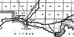
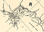
Detail - Preliminary chart of the northeastern part of the Gulf of Mexico,
1861 |
|
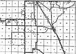
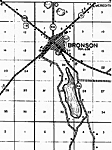
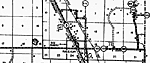
Bronson,
1936
Chiefland,
1936 |
|
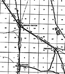
Lebanon,
1936 |
|
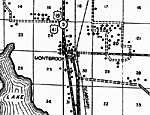
Montbrook,
1936 |
|
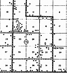
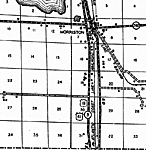
Morriston,
1936 |
|
Otter Creek,
1936 |
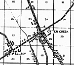
|
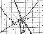
Otter Creek 2,
1936 |
|
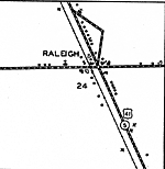
Raleigh,
1936 |
|
Raleigh Insert,
1936 |
|
Rosewood,
1936
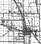
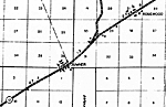
Williston,
1936 |
|
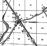
Cedar Keys,
1978 |
| FL Maps > Local > Levy |
Maps ETC
is a part of the
Educational Technology Clearinghouse
Produced by the
Florida Center for Instructional Technology
© 2007
College of Education
,
University of South Florida