|
|
|
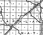
| FL Maps > Local > Liberty |
Click on a thumbnail image to view a full size version of that map.
|
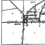
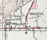
Bristol Insert,
1936 |
|
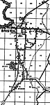
Bristol,
1936 |
|
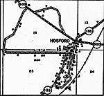
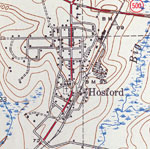
Hosford Insert,
1936 |
|
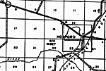
Hosford,
1936 |
|
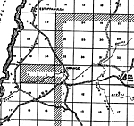
Orange,
1936 |
|
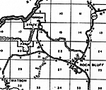
Rock Bluff,
1936 |
|
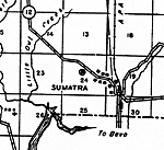
Sumatra,
1936 |
|
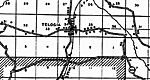
Telogia,
1936 |
|
Wilma,
1936 |
|
Bristol,
1945 |
|
Hosford,
1945 |
| FL Maps > Local > Liberty |
Maps ETC
is a part of the
Educational Technology Clearinghouse
Produced by the
Florida Center for Instructional Technology
© 2007
College of Education
,
University of South Florida