| FL Maps > County > Glades > Glades "Abstract" Maps > #03 Blue Blur |
| Directions: To use any of the four maps below, simply click and drag the image to your desktop. You can also right click (Windows) or control click (Macintosh) and select the copy option from the pop-up menu. For additional assistance, see Help Using Maps. You can also choose from our selection of PNG maps by clicking here. For help with PNG maps, or deciding which format of map to choose, visit our PNG Help page. |


| * A TIFF file is a high-resolution (240 dpi) format. TIFF files should be used only if you are printing the maps. Do NOT use TIFF files for maps that will displayed on a computer screen. Click here for help downloading and using TIFF files. | ||
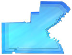
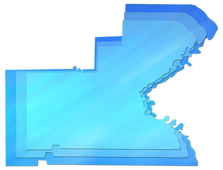
| Description: A map of Glades County with three overlapping layers, each layer a different shade of blue and slightly smaller than the layer underneath. The background is solid white. These maps are in the JPG format. Use them on your Web pages or in presentations.
Keywords: Glades, borders, outline map of Glades County, JPG Source: Florida Center for Instructional Technology, Exploring Florida Maps (Tampa, FL: University of South Florida, 2009) Map Credit: Florida Center for Instructional Technology, University of South Florida. | ||
| Search | License | Help Using Maps |
| FL Maps > County > Glades > Glades "Abstract" Maps > #03 Blue Blur |