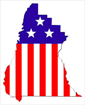
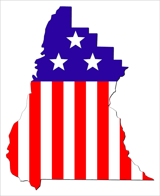
Description: A map of Liberty made of stars and stripes bunting. Suitable for the following themes: Liberty government, politics, patriotic, elections. These maps are in the GIF format and have a white background. You can use them in your presentations, reports, and Web pages. There is also a link to a high-resolution TIFF version of the map if you need to print a very large, high-quality image. For any project such as a presentation or a web page that will be displayed on a computer, you should use the GIF versions displayed above, not the TIFF version.
Keywords: Liberty map, Liberty maps, borders, thematic map, red, white, and blue, flag, outline map of Liberty, GIF
Source: Florida Center for Instructional Technology, Exploring Florida Maps (Tampa, FL: University of South Florida, 2009)
Map Credit: Florida Center for Instructional Technology, University of South Florida. |