| Home > Photos > Transportation > Roads > Major highway in Miami | |
|
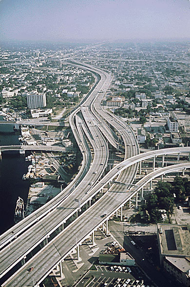
A color, aerial photo taken in August, 1972 of a traffic interchange that cuts through the heart of downtown Miami.
|
|
Photo credit: Environmental Protection Agency, Still Pictures Branch, National Archives at College Park. Image enhancement by FCIT.
|
| Home > Photos > Transportation > Roads > Major highway in Miami |
Exploring
Florida: A Social Studies Resource for Students and Teachers
Produced by the Florida Center for Instructional
Technology,
College of Education, University of South Florida © 2002.