| Home > Photos > Transportation > Roads > Seven Mile Bridge | |
|
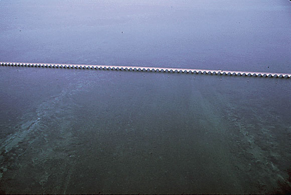
An aerial, color photo taken in June, 1973 of the Seven Mile Bridge," the longest of a series of concrete bridges linking the Florida Keys from the mainland to Key West. The bridges form part of the overseas highway, the longest over-water road in the world."
|
|
Photo credit: Environmental Protection Agency, Still Pictures Branch, National Archives at College Park. Image enhancement by FCIT.
|
| Home > Photos > Transportation > Roads > Seven Mile Bridge |
Exploring
Florida: A Social Studies Resource for Students and Teachers
Produced by the Florida Center for Instructional
Technology,
College of Education, University of South Florida © 2002.