Maps Site map
  FL Maps > County > Bay
Site Map  

Bay County Maps

Click on a thumbnail image to view a full size version of that map.

Bay County is Florida's 49th county, established on April 24, 1913, from a segment of Washington County. It gains its name from Saint Andrews Bay, a body of water bordering the county. Panama City is the county seat. Panama was a shipbuilding and industrial center during World War II that was named after Panama City.

For earlier maps of this area, visit the Washington County map gallery.

  Record   26   to   32  of   32

Bay County "Fun" Maps in 30 Styles, 2008
A collection of 30 Bay County maps in a crazy range of styles including blue jeans, chalkboards, pirate maps, coins, hearts, and even swimming pools. Use them as attention-getting slides in presentations or on websites. Each of the maps is in the JP...

Bay County Cities with Labels, 2009
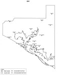
This is a black and white city map of Bay county, 2009. It shows the location with names of unincorporated cities/towns (black dot) such as Youngstown, incorporated cities/towns (circle with dot) such as Parker, and the county seat (circle with star)...

Bay County Cities Outline, 2009
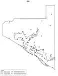
This is a black and white city outline map of Bay county, 2009. It shows the location without names of unincorporated cities/towns (black dot), incorporated cities/towns (circle with dot), and the county seat (circle with star)....

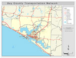
Bay County Road Network- Black and White, 2009
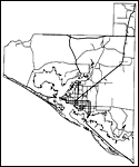
This is a black and white road map of Bay county, 2009. It shows the location of many roads, including US-231 and US-98. ...

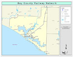
Bay County Railway Network- Black and White, 2009
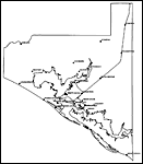
This is a black and white railroad map of Bay county, 2009. It also shows location of cities and towns including Panama City and Bayou George....

Bay County Railway Network- Color, 2009
This is a color railroad map of Bay county, 2009. It also shows location of cities and towns including Panama City and Bayou George, inland water including rivers and lakes, and Amtrak stations....

Bay County Road Network- Color, 2009
This is a color road map of Bay county, 2009. It shows the location of many roads including US-98, cities and towns, and inland water....

First Previous


  FL Maps > County > Bay
Site Map  

Maps ETC is a part of the Educational Technology Clearinghouse
Produced by the Florida Center for Instructional Technology © 2007
College of Education , University of South Florida