Maps Site map
  FL Maps > Local > Collier
Site Map  

City and Local Maps for Collier County

Click on a thumbnail image to view a full size version of that map.

  Record   1   to   22  of   22

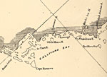
Detail - Preliminary chart of the northeastern part of the Gulf of Mexico, 1861
This detail of a map of the Gulf of Mexico showing Gallivans Bay with surrounding islands and keys as well as bodies of water, including inlets and rivers current to 1861. The map scale is 1:600,000....

Arzell, 1936
This is a detailed map of the city Arzell in Collier County, Florida. Section Township Range (STR) is shown. This map shows state roads, sawmills, businesses, farm units and dwellings other than farms. Key to Florida Hig...

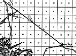
Belle Meade, 1936
This is a detailed map of the city Belle Meade in Collier County, Florida. Section Township Range (STR) is shown. This map shows US highways, state roads, railroads, inland waters, businesses, a school, a scenic site, farm units and dwellings other t...

Carnestown, 1936
This is a detailed map of the city Carnestown in Collier County, Florida. Section Township Range (STR) is shown. This map shows US highways, state roads, railroads, businesses, sawmills, citrus packing stations, farm units and dwellings other than fa...

Immokalee, 1936
This is a detailed map of the city Immokalee in Collier County, Florida. Section Township Range (STR) is shown. This map shows state roads, railroads, inland waters, businesses, a school, farm units and dwellings other than farms.

Immokalee 2, 1936
This is a detailed map of the city Immokalee in Collier County, Florida. Section Township Range (STR) is shown. This map shows roads, railroads, a citrus packing station, a business, farm units and dwellings other than farms.

Matmon, 1936
This is a detailed map of the city Matmon in Collier County, Florida. Section Township Range (STR) is shown. This map shows state roads, railroads, county seat, citrus packing stations, a hotel, a business, farm units and dwellings other than farms. ...

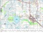
Immokalee, 1985
A portion of the US Geological Survey and National Ocean Service Naples Quadrangle map of the southern Florida current to 1985 showing the city Immokalee in Collier County, Florida. This topographic-bathymetric map shows elevations and depths in mete...

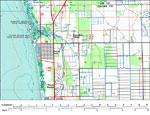
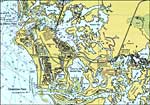
Naples Park and Palm River Estates, 1985
A portion of the US Geological Survey and National Ocean Service Naples Quadrangle map of the southern Florida current to 1985 showing Naples Park and Palm River Estates in Collier County, Florida. This topographic-bathymetric map shows elevations an...

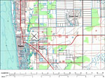
Naples and East Naples, 1985
A portion of the US Geological Survey and National Ocean Service Naples Quadrangle map of the southern Florida current to 1985 showing Naples and East Naples in Collier County, Florida. This topographic-bathymetric map shows elevations and depths in ...

Rookery Bay Area, 1985
A portion of the US Geological Survey and National Ocean Service Naples Quadrangle map of the southern Florida current to 1985 showing the Rookery Bay area in Collier County, Florida. This topographic-bathymetric map shows elevations and depths in me...

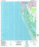
Naples South, 1987
A US Geological Survey and National Ocean Service map of the Gulf Coast south of Naples to Little Marco Pass, current to 1987. The map shows both topographic and bathymetric features. Topographic contour lines are shown in 5-feet intervals and bathym...

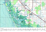
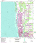
Naples North, 1987
A US Geological Survey and National Ocean Service map of the Gulf Coast, north of Naples current to 1987. The map shows both topographic and bathymetric features. Topographic contour lines are shown in 5-feet intervals and bathymetric contour lines i...

South Naples, 1987
A US Geological Survey and National Ocean Service map of South Naples, current to 1987. The map shows both topographic and bathymetric features. Topographic contour lines are shown in 5-feet intervals and bathymetric contour lines in 1-meter interval...

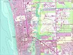
Central Naples, 1987
A US Geological Survey and National Ocean Service map of Central Naples, current to 1987. The map shows both topographic and bathymetric features. Topographic contour lines are shown in 5-feet intervals and bathymetric contour lines in 1-meter interv...

North Naples, 1987
A US Geological Survey and National Ocean Service map of North Naples, current to 1987. The map shows both topographic and bathymetric features. Topographic contour lines are shown in 5-feet intervals and bathymetric contour lines in 1-meter interval...

North Central Naples, 1987
A US Geological Survey and National Ocean Service map of North Naples, current to 1987. The map shows both topographic and bathymetric features. Topographic contour lines are shown in 5-feet intervals and bathymetric contour lines in 1-meter interva...

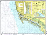
Chatham River to Clam Pass, 1999
A National Oceanic and Atmospheric Administration map of Gulf Coast, from Chatham River to Clam Pass, current to 1999. This Department of Commerce chart shows all soundings expressed in feet at mean lower low water. Detailed maps of Naples Bay and E...

Ten Thousand Islands, 1999
A National Oceanic and Atmospheric Administration map of Ten Thousand Islands, current to 1999. This Department of Commerce chart shows all soundings expressed in feet at mean lower low water. Navigational aids such as lights, beacons, buoys and meas...

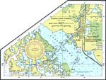
Naples Bay, 1999
A National Oceanic and Atmospheric Administration map Naples Bay current to 1999. This Department of Commerce chart shows all soundings expressed in feet at mean lower low water. Navigational aids such as lights, beacons, buoys and measures of magnet...

Everglades Harbor, 1999
A National Oceanic and Atmospheric Administration map of Everglades Harbor current to 1999. This Department of Commerce chart shows all soundings expressed in feet at mean lower low water. Navigational aids such as lights, beacons, buoys and measures...

Marco Island, 1999
A National Oceanic and Atmospheric Administration map of Marco Island, current to 1999. This Department of Commerce chart shows all soundings expressed in feet at mean lower low water. Navigational aids such as lights, beacons, buoys and measures of ...


  FL Maps > Local > Collier
Site Map  

Maps ETC is a part of the Educational Technology Clearinghouse
Produced by the Florida Center for Instructional Technology © 2007
College of Education , University of South Florida