Maps Site map
  FL Maps > Local > Gulf
Site Map  

City and Local Maps for Gulf County

Click on a thumbnail image to view a full size version of that map.

  Record   1   to   25  of   29

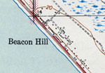
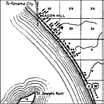
Beacon Hill, 1936
This is a detailed map of the city Beacon Hill in Gulf County, Florida. Section Township Range (STR) is shown. This map shows US highways, state roads, inland waters, businesses, seasonal dwellings, a camp, a hotel and dwellings other than farms.

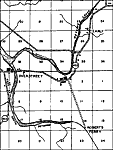
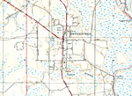
Overstreet, 1936
This is a detailed map of the city Overstreet in Gulf County, Florida. Section Township Range (STR) is shown. This map shows state roads, inland waters, schools, a turpentine still, farm units and dwellings other than farms.

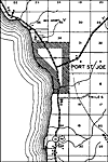
Port St. Joe, 1936
This is a detailed map of the city Port St. Joe in Gulf County, Florida. Section Township Range (STR) is shown. This map shows US highways, state roads, inland waters, railroads, seasonal dwellings, a business, farm units and dwellings other than far...

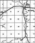
Wetappo, 1936
This is a detailed map of the city Wetappo in Gulf County, Florida. Section Township Range (STR) is shown. This map shows state roads, inland waters, turpentine stills, a school, farm units and dwellings other than farms. Ke...

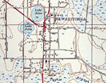
Wewahitchka, 1936
This is a detailed map of the city Wewahitchka in Gulf County, Florida. Section Township Range (STR) is shown. This map shows state roads, inland waters, businesses, a church, camps, turpentine still, farm units and dwellings other than farms.

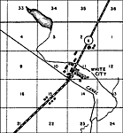
White City, 1936
This is a detailed map of the city White City in Gulf County, Florida. Section Township Range (STR) is shown. This map shows state roads, inland waters, a canal, a business, a sawmill, farm units and dwellings other than farms.

Port St. Joe, 1943
This is a map of Port St. Joe in Gulf County, Florida courtesy of the Pennsylvania State University map library. It shows elevation, roads, railroads, inland waters and locations of dwellings, schools and churches. Detail view from a United States Ge...

Beacon Hill, 1944
This is a map of Beacon Hill in Gulf County, Florida courtesy of the Pennsylvania State University map library. It shows elevation, roads, marshes, inland waters, Gulf of Mexico, and locations of dwellings. Detail view from a United States Geological...

Wewahitchka, Florida, 1945
A portion of the Wewahitchka Quadrangle showing details of the area around Wewahitchka, Florida. The map shows man-made structures such as State, primary, and secondary roads, and residences, as well as the locations of survey bench markers. Natural...

Honeyville and Gaskins Still, Florida, 1945
A portion of the Wewahitchka Quadrangle showing details of the area around Honeyville and Gaskins Still, Florida. The map shows man-made structures such as State, primary, and secondary roads, and residences, as well as the locations of survey bench...

Dalkeith, Florida, 1945
A portion of the Wewahitchka Quadrangle showing details of the area around Dalkeith, Florida. The map shows man-made structures such as primary and secondary roads, and residences, as well as the locations of survey bench markers. Natural features i...

Wewahitchka, 1945
This is a map of Wewahitchka in Gulf County, Florida courtesy of the Pennsylvania State University map library. It shows elevation, roads, inland waters and locations of dwellings, churches and a school. Detail view from a United States Geological Su...

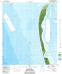
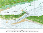
St. Joseph Point, 1982
A National Ocean Survey map of St. Joseph Point current to 1982. This orthophotomap shows both topographic and bathymetric features. Topographic and bathymetric contour intervals are shown in meters. Topographic contour lines are shown at 2-meter ...

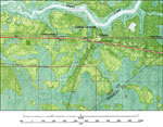
Overstreet , 1982
A National Ocean Survey map of Overstreet current to 1982. This orthophotomap shows both topographic and bathymetric features. Topographic and bathymetric contour intervals are shown in meters. Topographic contour lines are shown at 2-meter interva...

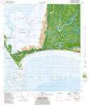
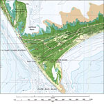
Cape San Blas, 1982
A US Geological Survey and National Ocean Service map of the area adjacent to Cape San Blas current to 1982. The map shows both topographic and bathymetric features. Topographic contour lines are shown at 2-meter intervals with supplemental contour i...

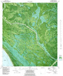
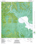
Lake Wimico, 1982
A US Geological Survey and National Ocean Service map of Lake Wimico current to 1982. The map shows both topographic and bathymetric features. Topographic contour lines are shown at 2-meter intervals with supplemental contour intervals at 1 meter. B...

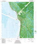
Port St. Joe, 1982
A US Geological Survey and National Ocean Service map of Port St. Joe current to 1982. The map shows both topographic and bathymetric features. Topographic contour lines are shown at 2-meter intervals with supplemental contour intervals at 1 meter. B...

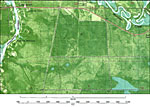
Overstreet Detail, 1982
A portion of the National Ocean Survey map of Overstreet current to 1982. This orthophotomap shows both topographic and bathymetric features. Topographic and bathymetric contour intervals are shown in meters. Topographic contour lines are shown at ...

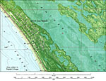
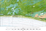
Saint Joe Beach, 1982
A portion of the National Ocean Survey map of Overstreet current to 1982 showing the city of St. Joe Beach. This orthophotomap shows both topographic and bathymetric features. Topographic and bathymetric contour intervals are shown in meters. Conto...

Indian Peninsula, 1982
A US Geological Survey and National Ocean Service map of the Indian Peninsula, current to 1982. The map shows both topographic and bathymetric features. Topographic contour lines are shown at 2-meter intervals with supplemental contour intervals at 1...

Odena, 1982
A US Geological Survey and National Ocean Service map of Odena, current to 1982. The map shows both topographic and bathymetric features. Topographic contour lines are shown at 2-meter intervals with supplemental contour intervals at 1 meter. Bathyme...

Eglin Air Force Base, 1982
A US Geological Survey and National Ocean Service map of the Eglin Air Force Base near Cape San Blas, current to 1982. The map shows both topographic and bathymetric features. Topographic contour lines are shown at 2-meter intervals with supplemental...

Money Beach, 1982
A US Geological Survey and National Ocean Service map of Money Beach, current to 1982. The map shows both topographic and bathymetric features. Topographic contour lines are shown at 2-meter intervals with supplemental contour intervals at 1 meter. B...

Unknown Golf Course, 1982
A US Geological Survey and National Ocean Service map of an unknown golf course in Gulf County off the coast of St. Josephs Bay, current to 1982. The map shows both topographic and bathymetric features. Topographic contour lines are shown at 2-meter ...

Highland View and Palm Point, 1982
A US Geological Survey and National Ocean Service map of Highland View and Palm Point, current to 1982. The map shows both topographic and bathymetric features. Topographic contour lines are shown at 2-meter intervals with supplemental contour interv...

Next Last


  FL Maps > Local > Gulf
Site Map  

Maps ETC is a part of the Educational Technology Clearinghouse
Produced by the Florida Center for Instructional Technology © 2007
College of Education , University of South Florida