|
|
|
| FL Maps > County > Jefferson |
Click on a thumbnail image to view a full size version of that map.
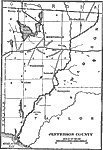
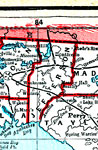
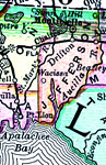
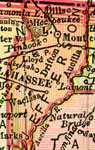
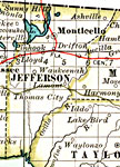
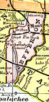
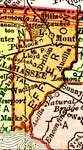
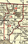
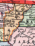
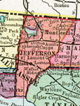
Jefferson County is Florida's 13th county, established on January 20, 1827, from a segment of Escambia County. It gains its name from Thomas Jefferson (1743-1826), the 3th President of the United States (1801-1809). Monticello, named after Jefferson's historic home in Virginia, is the county seat.
For earlier maps of this area, visit the Escambia County map gallery.
|
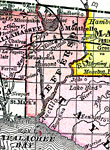
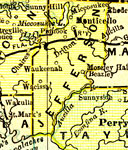
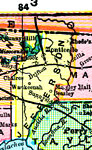
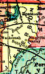
Jefferson County,
1888 |
|
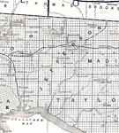
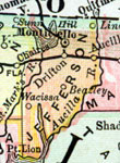
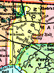
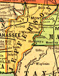
Jefferson County,
1888 |
|
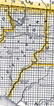
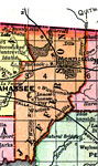
Jefferson County,
1888 |
|
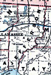
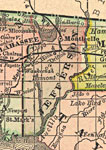
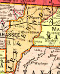
Jefferson County,
1889 |
|
Jefferson County,
1890 |
|
Jefferson County,
1890 |
|
Jefferson County,
1890 |
|
Jefferson County,
1892 |
|
Jefferson County,
1893 |
|
Jefferson County,
1894 |
|
Jefferson County,
1895 |
|
Jefferson County,
1897 |
|
Jefferson County,
1898 |
|
Jefferson County,
1898 |
|
Jefferson County,
1898 |
|
Jefferson County,
1899 |
|
Jefferson County,
1900 |
|
Jefferson County,
1900 |
|
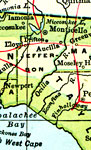
Florida Railroads - Jefferson County,
1900 |
|
Jefferson County,
1902 |
|
Jefferson County,
1904 |
|
Jefferson County,
1907 |
|
Jefferson County,
1909 |
|
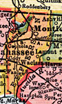
Jefferson County,
1910 |
|
Jefferson County,
1911 |
| First | Previous | Next | Last |
| FL Maps > County > Jefferson |
Maps ETC
is a part of the
Educational Technology Clearinghouse
Produced by the
Florida Center for Instructional Technology
© 2007
College of Education
,
University of South Florida