|
|
|
| FL Maps > Local > Duval |
Click on a thumbnail image to view a full size version of that map.
|
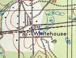
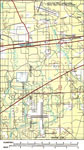
Whitehouse,
1918 |
|
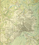
Jacksonville Center,
1918 |
|
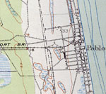
Pablo Beach,
1918 |
|
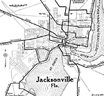
Jacksonville Florida,
1919 |
|
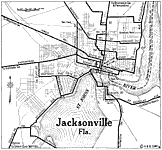
Jacksonville City Map,
1922 |
|
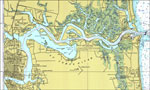
St. Johns River,
1977 |
|
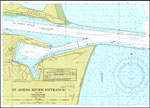
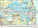
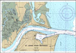
St. Johns River Entrance,
1978 |
|
Atlantic Beach,
1980 |
|
Cecil Field Naval Air Station,
1980 |
|
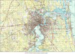
Duval County,
1980 |

|
Garden City,
1980 |
|
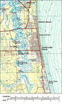
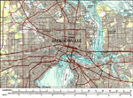
Jacksonville,
1980 |
|
St. Johns River Mouth,
1980 |
|
St. Johns River Entrance,
1986 |
| First | Previous |
| FL Maps > Local > Duval |
Maps ETC
is a part of the
Educational Technology Clearinghouse
Produced by the
Florida Center for Instructional Technology
© 2007
College of Education
,
University of South Florida