|
|
|
| FL Maps > Local > Lake |
Click on a thumbnail image to view a full size version of that map.
|
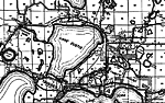
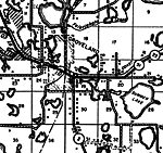
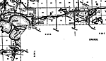
Altoona,
1936 |
|
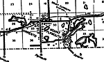
Astor Park,
1936 |
|
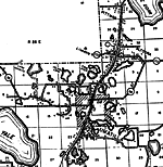
Grand Island,
1936 |
|
Groveland,
1936
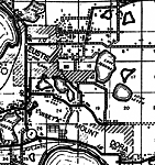
Leesburg,
1936 |
|
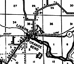
Lisbon,
1936 |
|
Okahumpka,
1936 |
|
Paisley,
1936 |
|
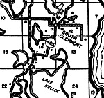
Mount Plymouth,
1936 |
|
Sorrento,
1936
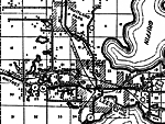
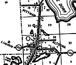
Tavares,
1936 |
|
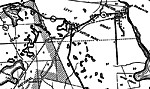
Umatilla,
1936 |
|
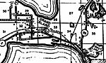
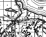
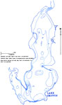
Hydrology of the Oklawaha Lakes Area of Florida- Lake Griffin,
1974 |
|
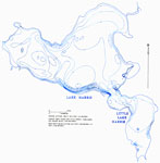
Hydrology of the Oklawaha Lakes Area of Florida- Lake Harris and Little Lake Harris,
1974 |
|
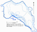
Hydrology of the Oklawaha Lakes Area of Florida- Lake Yale,
1974 |
|
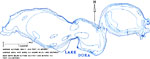
Hydrology of the Oklawaha Lakes Area of Florida- Lake Dora,
1974 |
|
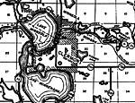
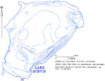
Hydrology of the Oklawaha Lakes Area of Florida- Lake Eustis,
1974 |
|
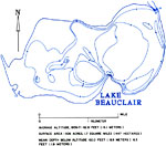
Hydrology of the Oklawaha Lakes Area of Florida- Lake Beauclair,
1974 |
|
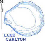
Hydrology of the Oklawaha Lakes Area of Florida- Lake Carlton,
1974 |
| FL Maps > Local > Lake |
Maps ETC
is a part of the
Educational Technology Clearinghouse
Produced by the
Florida Center for Instructional Technology
© 2007
College of Education
,
University of South Florida