| Home > Photos > Industry > Misc. > Aerial photo of Tampa | |
|
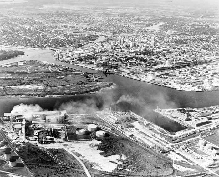
A black and white, aerial photo of Tampa in 1971, then the only city in the Sunshine State with a population of more than 260,000. In the foreground is part of the Hooker's Point industrial area, left corner is another growing industrial area, Seddon Island, right center is downtown.
|
|
Photo credit: Courtesy of the Special Collections Department, University of South Florida. Digitization provided by the USF Libraries Digitization Center.
|
| Home > Photos > Industry > Misc. > Aerial photo of Tampa |
Exploring
Florida: A Social Studies Resource for Students and Teachers
Produced by the Florida Center for Instructional
Technology,
College of Education, University of South Florida © 2002.