|
|
|
| FL Maps > County > Santa Rosa |
Click on a thumbnail image to view a full size version of that map.
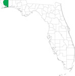
Santa Rosa County is Florida's 21st county, established on February 18, 1842, from a segment of Escambia County. It gains its name from Santa Rosa Island, which was named for Saint Rosa de Viterbo, a Catholic saint. Milton is the county seat.
For earlier maps of this area, visit the Escambia County map gallery.
|
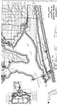
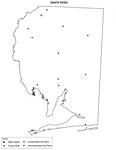
South Santa Rosa,
1940 |
|
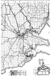
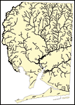
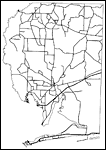
Mid Santa Rosa,
1940 |
|
Santa Rosa EPA Superfund Sites,
2008 |
|
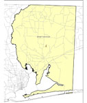
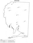
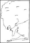
Locater Map of Santa Rosa County,
2008 |
|
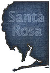
Clipart Collection: Santa Rosa County Maps in 50 Colors,
2008 |
|
Plain Frames Collection: Santa Rosa County Maps in 30 Colors,
2008 |

|
Fancy Frames Collection: Santa Rosa County Maps in 30 styles,
2008 |

|
Florida Photo Collection: Santa Rosa County Maps in 30 styles,
2008 |
|
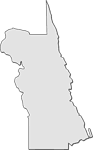
Florida Waterways: Santa Rosa County Outline,
2008 |
|
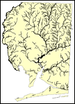
Florida Waterways: Santa Rosa County ,
2008 |
|
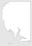
Florida Waterways: Santa Rosa County Outline without Labels,
2008 |

|
Santa Rosa "Abstract" Style Maps in 30 Styles,
2008 |
|
Santa Rosa County "Fun" Maps in 30 Styles,
2008 |
|
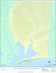
Florida Seagrass: Santa Rosa,
2008 |
|
Santa Rosa County Cities with Labels,
2009 |
|
Santa Rosa County Cities Outline,
2009 |
|
Santa Rosa County Road Network- Black and White,
2009 |
|
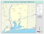
Santa Rosa County Railway Network- Black and White,
2009 |
|
Santa Rosa County Railway Network- Color,
2009 |
|
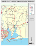
Santa Rosa County Road Network- Color,
2009 |
| First | Previous |
| FL Maps > County > Santa Rosa |
Maps ETC
is a part of the
Educational Technology Clearinghouse
Produced by the
Florida Center for Instructional Technology
© 2007
College of Education
,
University of South Florida