Maps Site map
  FL Maps > Local > Leon
Site Map  

City and Local Maps for Leon County

Click on a thumbnail image to view a full size version of that map.


  Record   26   to   50  of   51

Bellair, 1936
This is a detailed map of the city Bellair in Leon County, Florida. Section Township Range (STR) is shown. This map shows state roads, US highway, railroads, camps, a school, churches, businesses, farm units and dwellings other than farms.

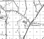
Bradfordville, 1936
This is a detailed map of the city Bradfordville in Leon County, Florida. Section Township Range (STR) is shown. This map shows state roads, schools, churches, cemeteries, businesses, farm units and dwellings other than farms.

Capitola, 1936
This is a detailed map of the city Capitola in Leon County, Florida. Section Township Range (STR) is shown. This map shows state roads, railroads, schools, churches, tenant houses, a camp, sawmills, a factory, farm units and dwellings other than farm...

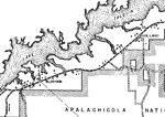
Holland, 1936
This is a detailed map of the city Holland in Leon County, Florida. Section Township Range (STR) is shown. This map shows state roads, tenant houses, businesses, churches, cemeteries, a school, sawmill, farm units and dwellings other than farms.

Iamonia, 1936
This is a detailed map of the city Iamonia in Leon County, Florida. Section Township Range (STR) is shown. This map shows roads, schools, churches, a cemetery, businesses, farm units and dwellings other than farms. Key t...

Jackson, 1936
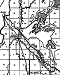
This is a detailed map of the city Lake Jackson in Leon County, Florida. Section Township Range (STR) is shown. This map shows state roads, US highways, railroads, schools, churches, a sawmill, cemeteries, camps, businesses, farm units and dwellings ...

Meridian, 1936
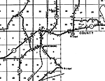
This is a detailed map of the city Meridian in Leon County, Florida. Section Township Range (STR) is shown. This map shows state roads, townhall, a school, a church, a cemetery, businesses, farm units and dwellings other than farms.

Miccosukee, 1936
This is a detailed map of the city Miccosukee in Leon County, Florida. Section Township Range (STR) is shown. This map shows state roads, railroads, churches, tenant houses, schools, farm units and dwellings other than farms.

Miccosukee Insert, 1936
This is a detailed map of the city Miccosukee in Leon County, Florida. Section Township Range (STR) is shown. This map shows state roads, railroads, churches, a school, a post office, townhall, businesses, farm units and dwellings other than farms. <...

Spring Hill, 1936
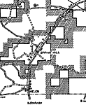
This is a detailed map of the city Spring Hill in Leon County, Florida. Section Township Range (STR) is shown. This map shows roads, railroads, churches, schools, forest ranger lookout station, sawmill, farm units and dwellings other than farms.

Tallahassee Insert, 1936
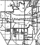
This is a detailed map of the city and state capitol Tallahassee in Leon County, Florida. Section Township Range (STR) is shown. This map shows state roads, US highways, railroads, churches, schools, a cemetery, county seat, businesses, townhall, ten...

Tallahassee, 1936
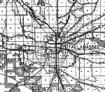
This is a detailed map of the city and state capitol Tallahassee in Leon County, Florida. Section Township Range (STR) is shown. This map shows state roads, US highways, railroads, county seat, churches, camps, schools, businesses, an airport, cemete...

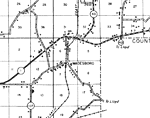
Wadesboro, 1936
This is a detailed map of the city Wadesboro in Leon County, Florida. Section Township Range (STR) is shown. This map shows state roads, railroads, churches, businesses, camp, sawmills, schools, tenant houses, farm units and dwellings other than farm...

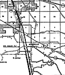
Woodville, 1936
This is a detailed map of the city Woodville in Leon County, Florida. Section Township Range (STR) is shown. This map shows state roads, US highway, railroads, camp, a church, tenant houses, farm units and dwellings other than farms.

Woodville Insert, 1936
This is a detailed map of the city Woodville in Leon County, Florida. Section Township Range (STR) is shown. This map shows state roads, US highway, railroads, churches, schools, businesses, a post office, camp, farm units and dwellings other than fa...

Detail - Highway and Transportation Map of Leon County, 1940
This is a detail of a map of the transportation system in Leon County, Florida that specifies Bloxham, Holland, and surrounding area. Section Township Range (STR) is shown. This map shows divided highways, dwellings, schools, churches, small business...

Detail - Highway and Transportation Map of Leon County, 1940
This is a detail of a map of the transportation system in Leon County, Florida that specifies Bradforville. Section Township Range (STR) is shown. This map shows divided highways, dwellings, schools, churches, small businesses, and a saw mill.

Detail - Highway and Transportation Map of Leon County, 1940
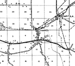
This is a detail of a map of the transportation system in Leon County, Florida that specifies Chaires. Section Township Range (STR) is shown. This map shows divided highways, dwellings, schools, churches, small businesses, and a saw mill.

Detail - Highway and Transportation Map of Leon County, 1940
This is a detail of a map of the transportation system in Leon County, Florida that specifies Iamonia. Section Township Range (STR) is shown. This map shows divided highways, railroads, dwellings, schools, churches, and small businesses. The corner o...

Detail - Highway and Transportation Map of Leon County, 1940
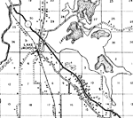
This is a detail of a map of the transportation system in Leon County, Florida that specifies Lake Jackson. Section Township Range (STR) is shown. This map shows divided highways, railroads, dwellings, schools, churches, and small businesses. A branc...

Detail - Highway and Transportation Map of Leon County, 1940
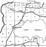
This is a detail of a map of the transportation system in Leon County, Florida that specifies Meridian and much of Lake Iamonia. Section Township Range (STR) is shown. This map shows divided highways, railroads, dwellings, schools, churches, and smal...

Detail - Highway and Transportation Map of Leon County, 1940
This is a detail of a map of the transportation system in Leon County, Florida that specifies Miccosukee town and Lake. Section Township Range (STR) is shown. This map shows divided highways, railroads, dwellings, schools, churches, and small busines...

Detail - Highway and Transportation Map of Leon County, 1940
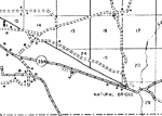
This is a detail of a map of the transportation system in Leon County, Florida that specifies Natural Bridge. Section Township Range (STR) is shown. This map shows divided highways, railroads, dwellings, schools, churches, and small businesses. On th...

Detail - Highway and Transportation Map of Leon County, 1940
This is a detail of a map of the transportation system in Leon County, Florida that specifies Wadesboro. Section Township Range (STR) is shown. This map shows divided highways, railroads, dwellings, schools, churches, a saw mill, and small businesses...

Detail - Highway and Transportation Map of Leon County, 1940
This is a detail of a map of the transportation system in Leon County, Florida current to 1940 that specifies Woodville. Section Township Range (STR) is shown. This map shows divided highways, townhall, railroads, dwellings, schools, churches, and sm...

First Previous Next Last


  FL Maps > Local > Leon
Site Map  

Maps ETC is a part of the Educational Technology Clearinghouse
Produced by the Florida Center for Instructional Technology © 2007
College of Education , University of South Florida