| Home > Maps > Escambia City and Local > Warrington, 1860s | |
|
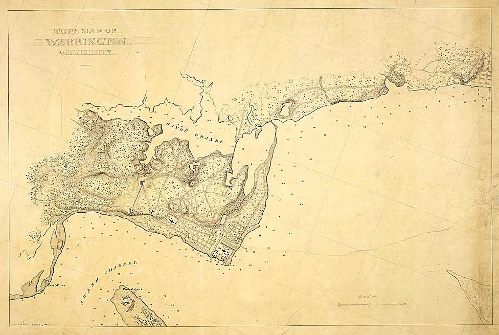
Map of Warrington and its vicinity created between 1861 and 1865 by the
U.S. War Department.
|
|
Map Credit: Courtesy of the National Archives and Records Administration.
|
| Home > Maps > Escambia City and Local > Warrington, 1860s |
Exploring
Florida: A Social Studies Resource for Students and Teachers
Produced by the Florida Center for Instructional
Technology,
College of Education, University of South Florida © 2002.