| Home > Maps > 1800s, III > Florida Panhandle 1800s, III | |
|
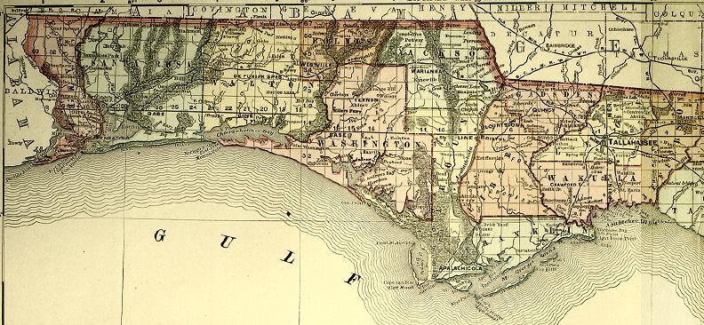
"Rand,
McNally & Company's Indexed Atlas of the World." Map of Florida
created during the mid-18th century. Detailed view of the Florida panhandle.
|
|
Map Credit: Courtesy of the Special Collections Department, University of South Florida. Digitization provided by the USF Libraries Digitization Center.
|
| Home > Maps > 1800s, III > Florida Panhandle 1800s, III |
Exploring
Florida: A Social Studies Resource for Students and Teachers
Produced by the Florida Center for Instructional
Technology,
College of Education, University of South Florida © 2002.