| Home > Maps > Aerial > Hurricane Floyd | |
|
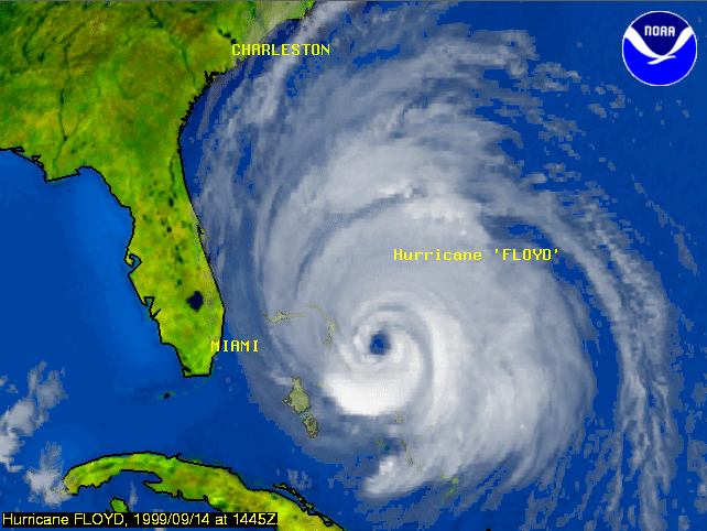
A
map tracking Hurricane Floyd's movement in Florida on September 14, 1999
at 11:16.
|
|
Map Credit: Courtesy of the National Oceanic & Atmospheric Administration/Department of Commerce (NOAA).
|
| Home > Maps > Aerial > Hurricane Floyd |
Exploring
Florida: A Social Studies Resource for Students and Teachers
Produced by the Florida Center for Instructional
Technology,
College of Education, University of South Florida © 2002.