|
|
|
| FL Maps > County > Gilchrist |
Click on a thumbnail image to view a full size version of that map.
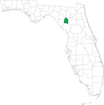
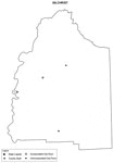
Gilchrist County is Florida's 67th county, established on December 4, 1925, from a segment of Alachua County. It gains its name from Albert Waller Gilchrist, the 20th governor of Florida (1909-1913). This county was going to be named Melon, but word came to the legislature that Gilchrist was dying. Therefore, an amendment was passed changing the name of the new county from Melon to Gilchrist. Trenton is the county seat.
For earlier maps of this area, visit the Alachua County map galleries.
|
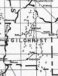
Gilchrist County,
1932 |
|
Gilchrist,
1936 |
|
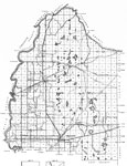
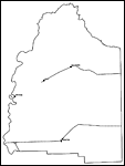
Gilchrist County,
1975 |
|
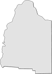
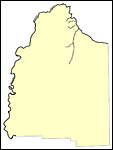
Locater Map of Gilchrist County,
2008 |
|
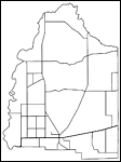
Clipart Collection: Gilchrist County Maps in 50 Colors,
2008 |

|
Plain Frames Collection: Gilchrist County Maps in 30 Colors,
2008 |
|
Fancy Frames Collection: Gilchrist County Maps in 30 styles,
2008 |

|
Florida Photo Collection: Gilchrist County Maps in 30 styles,
2008 |
|
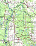
Florida Waterways: Gilchrist County Outline,
2008 |
|
Florida Waterways: Gilchrist County ,
2008 |
|
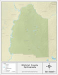
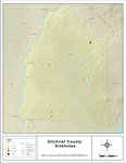
Sinkholes of Gilchrist County, Florida,
2008 |
|
Florida Waterways: Gilchrist County Outline without Labels,
2008 |

|
Gilchrist "Abstract" Style Maps in 30 Styles,
2008 |
|
Gilchrist County "Fun" Maps in 30 Styles,
2008 |
|
Gilchrist County Cities with Labels,
2009 |
|
Gilchrist County Cities Outline,
2009 |
|
Gilchrist County Road Network- Black and White,
2009 |
|
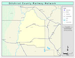
Gilchrist County Railway Network- Black and White,
2009 |
|
Gilchrist County Railway Network- Color,
2009 |
|
Gilchrist County Road Network- Color,
2009 |
| FL Maps > County > Gilchrist |
Maps ETC
is a part of the
Educational Technology Clearinghouse
Produced by the
Florida Center for Instructional Technology
© 2007
College of Education
,
University of South Florida