|
|
|
| FL Maps > County > Okeechobee |
Click on a thumbnail image to view a full size version of that map.
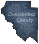
Okeechobee County is Florida's 54th county, established on May 8, 1917, from segments of Osceola County and Brevard County. It gains its name from the Hitchiti Indian words for "big water" (oki meaning water and chobi meaning big). Okeechobee, originally called Tantie after Tantie Huckabee, a Carolina schoolteacher who moved to this area and promoted learning, is the county seat.
For earlier maps of this area, visit the Osceola County and Brevard County map galleries.
|
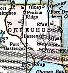
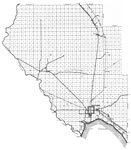
Okeechobee County,
1920 |
|
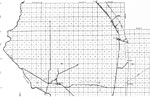
Okeechobee County,
1920 |
|
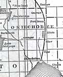
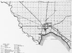
Okeechobee County,
1921 |
|
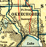
Okeechobee County,
1932 |
|
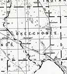
Okeechobee,
1936 |
|
North Okeechobee,
1936 |
|
South Okeechobee,
1936 |
|
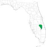
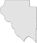
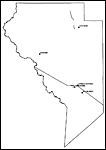
Locater Map of Okeechobee County,
2008 |
|
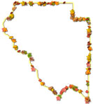
Clipart Collection: Okeechobee County Maps in 50 Colors,
2008 |

|
Plain Frames Collection: Okeechobee County Maps in 30 Colors,
2008 |
|
Fancy Frames Collection: Okeechobee County Maps in 30 styles,
2008 |

|
Florida Photo Collection: Okeechobee County Maps in 30 styles,
2008 |

|
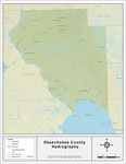
Florida Waterways: Okeechobee County Outline,
2008 |
|
Florida Waterways: Okeechobee County ,
2008 |
|
Florida Waterways: Okeechobee County Outline without Labels,
2008 |

|
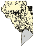
Okeechobee "Abstract" Style Maps in 30 Styles,
2008 |
|
Okeechobee County "Fun" Maps in 30 Styles,
2008 |
|
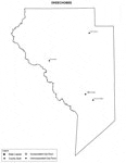
Okeechobee County Cities with Labels,
2009 |
|
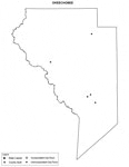
Okeechobee County Cities Outline,
2009 |
|
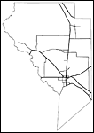
Okeechobee County Road Network- Black and White,
2009 |
|
Okeechobee County Railway Network- Black and White,
2009 |
|
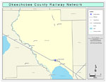
Okeechobee County Railway Network- Color,
2009 |
|
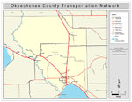
Okeechobee County Road Network- Color,
2009 |
| FL Maps > County > Okeechobee |
Maps ETC
is a part of the
Educational Technology Clearinghouse
Produced by the
Florida Center for Instructional Technology
© 2007
College of Education
,
University of South Florida