Maps Site map
  FL Maps > County > St. Lucie
Site Map  

St. Lucie County Maps

Click on a thumbnail image to view a full size version of that map.

St. Lucie County is Florida's 46th county, established on May 24, 1905, from a segment of Brevard County. It gains its name from St. Lucie of Syracuse. According to legend she was executed in A.D. 304 for being a Christian and has become associated with prayers against blindness. Fort Pierce is the county seat.

For earlier maps of this area, visit the Brevard County map gallery.


  Record   26   to   37  of   37

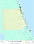
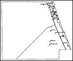
Florida Waterways: St Lucie County Outline, 2008
This map was created by FCIT and shows the waterways of Saint Lucie County. All major rivers, streams, creeks, lakes, and swamps are labeled. This map features Indian River, St. Lucie River, Long Creek, and North Fork Saint Lucie River....

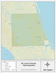
Florida Waterways: St Lucie County, 2008
This map was created by FCIT and shows the waterways of Saint Lucie County. All major rivers, streams, creeks, lakes, and swamps are labeled. This map features Indian River, St. Lucie River, Long Creek, and North Fork Saint Lucie River....

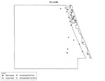
Florida Waterways: St Lucie County Outline without Labels, 2008
This topographical map was created by FCIT and shows the waterways of Saint Lucie County. All major rivers, streams, creeks, canals, bays and lakes are present, but not labeled. For a student activity sheet with directions for labeling the following:...

St. Lucie "Abstract" Style Maps in 30 Styles, 2008
A collection of 30 St. Lucie County maps in a range of abstract graphic styles suitable for use in presentations and websites. Since the style is abstract, these maps can be used in projects on a wide variety of topics. Each of the maps is in the JPE...

St. Lucie County "Fun" Maps in 30 Styles, 2008
A collection of 30 St. Lucie County maps in a crazy range of styles including blue jeans, chalkboards, pirate maps, coins, hearts, and even swimming pools. Use them as attention-getting slides in presentations or on websites. Each of the maps is in ...

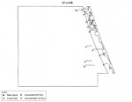
Florida Seagrass: St. Lucie, 2008
This topographical map was created by FCIT and shows the seagrass distribution for Saint Lucie County. The green coloration depicts continuous seagrass while the yellow shows discontinuous seagrass. In addition to the seagrass, rivers, towns, and hi...

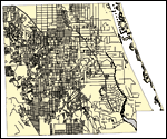
St. Lucie County Cities with Labels, 2009
This is a black and white city map of St. Lucie county, 2009. It shows the location with names of unincorporated cities/towns (black dot) such as Indrio, incorporated cities/towns (circle with dot) such as Port Saint Lucie, and the county seat (circl...

St. Lucie County Cities Outline, 2009
This is a black and white city outline map of St. Lucie county, 2009. It shows the location without names of unincorporated cities/towns (black dot), incorporated cities/towns (circle with dot), and the county seat (circle with star)....

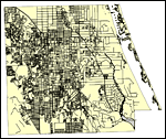
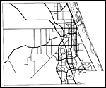
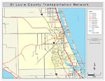
St. Lucie County Road Network- Black and White, 2009
This is a black and white road map of St. Lucie county, 2009. It shows the location of many roads, including FL-91/Florida's Turnpike, Okeechobee Rd. and I-95. ...

St. Lucie County Railway Network- Black and White, 2009
This is a black and white railroad map of St. Lucie county, 2009. It also shows location of cities and towns including Ft. Pierce and Port St. Lucie....

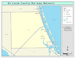
St. Lucie County Railway Network- Color, 2009
This is a color railroad map of St. Lucie county, 2009. It also shows location of cities and towns including Ft. Pierce and Port St. Lucie, inland water including rivers and lakes, and Amtrak stations....

St. Lucie County Road Network- Color, 2009
This is a color road map of St. Lucie county, 2009. It shows the location of many roads including US-1 and I-95, cities and towns, and inland water....

First Previous


  FL Maps > County > St. Lucie
Site Map  

Maps ETC is a part of the Educational Technology Clearinghouse
Produced by the Florida Center for Instructional Technology © 2007
College of Education , University of South Florida