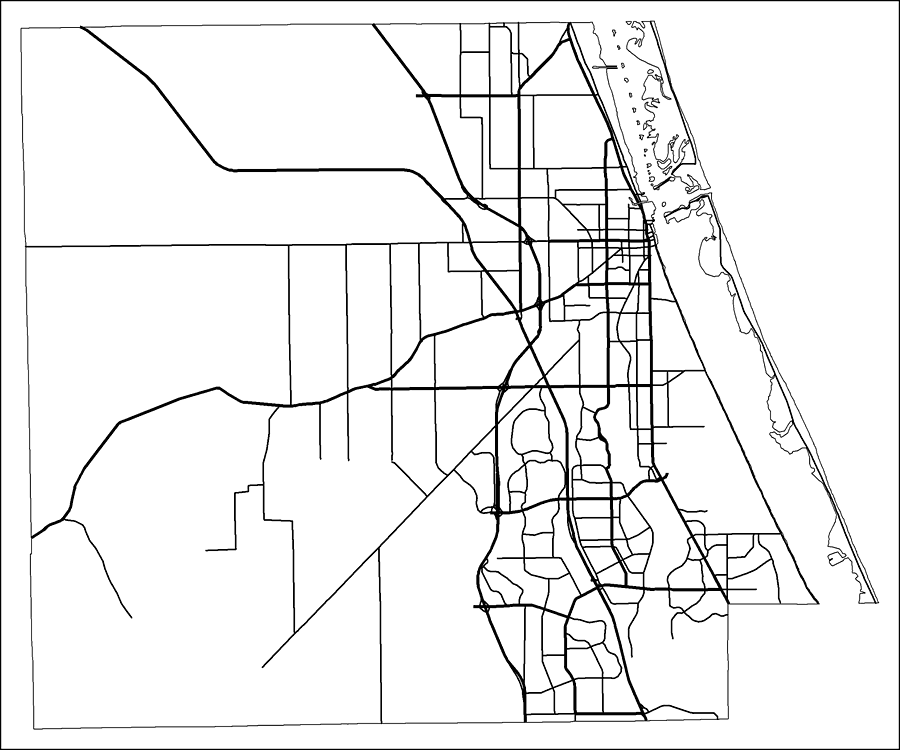
Description: This is a black and white road map of St. Lucie county, 2009. It shows the location of many roads, including FL-91/Florida's Turnpike, Okeechobee Rd. and I-95.
Place Names: St. Lucie,
ISO Topic Categories: boundaries, transportation
Keywords: St. Lucie County Road Network- Black and White, transportation, political, physical, county borders, roads, boundaries, transportation, Albers_Conical_Equal,2009
Source: Florida Center for Instructional Technology, Exploring Florida: Social Studies Resources for Students and Teachers (Tampa, FL: University of South Florida, 2009)
Map Credit: Courtesy of the Florida Center for Instructional Technology, Author: Samer Slaiby |
|