|
|
|
| FL Maps > County > Calhoun |
Click on a thumbnail image to view a full size version of that map.
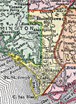
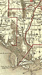
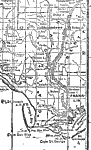
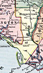
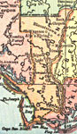
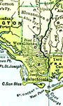
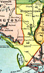
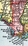
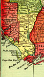
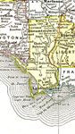
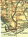
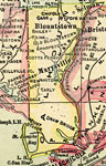
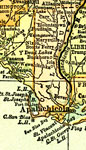
Calhoun County is Florida's 20th county, established on January 26, 1838, from a segment of Escambia County. It gains its name from John Caldwell Calhoun (1782 - 1850), a politician for many years of his life best known as a senator from South Carolina who strongly supported state's rights. Blountstown is the county seat. Blountstown was named after John Blount, a well known chief of a tribe of Native Americans that lived in this area.
For earlier maps of this area, visit the Escambia County map gallery.
|
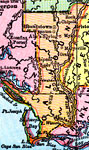
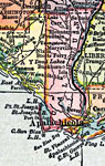
Calhoun County,
1893 |
|
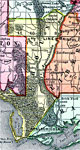
Calhoun County,
1894 |
|
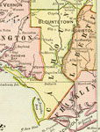
Calhoun County,
1895 |
|
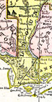
Calhoun County,
1897 |
|
Calhoun County,
1898 |
|
Calhoun County,
1898 |
|
Calhoun County,
1899 |
|
Calhoun County,
1900 |
|
Calhoun County,
1900 |
|
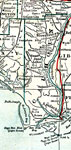
Florida Railroads - Calhoun County,
1900 |
|
Calhoun County,
1902 |
|
Calhoun County,
1902 |
|
Calhoun County,
1904 |
|
Calhoun County,
1907 |
|
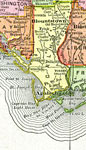
Calhoun County,
1909 |
|
Calhoun County,
1910 |
|
Calhoun County,
1911 |
|
Calhoun County,
1911 |
|
Calhoun County,
1914 |
|
Calhoun County,
1916 |
|
Calhoun County,
1916 |
|
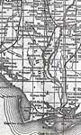
Calhoun County,
1917 |
|
Calhoun County,
1917 |
|
Calhoun County,
1920 |
|
Calhoun County,
1920 |
| First | Previous | Next | Last |
| FL Maps > County > Calhoun |
Maps ETC
is a part of the
Educational Technology Clearinghouse
Produced by the
Florida Center for Instructional Technology
© 2007
College of Education
,
University of South Florida