|
|
|
| FL Maps > County > Escambia |
Click on a thumbnail image to view a full size version of that map.
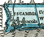
Escambia County is one of Florida's two original counties (St. Johns being the other), established on July 21, 1821. The origins of its name are unknown, although it is believed to be taken from an Indian word. Pensacola is the county seat. The city was established in 1698 and during its history has served as the location where the transfer of the Floridas from Spain to the United States was arranged as well as the first capital of the Territory of West Florida.
|
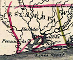
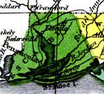
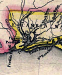
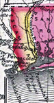
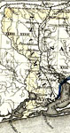
Detail - Geographical, statistical, and historical map of Florida,
1827 |
|
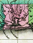
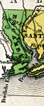
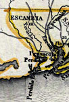
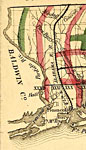
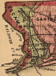
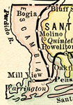
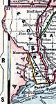
Escambia County,
1830 |
|
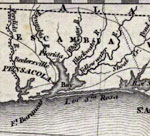
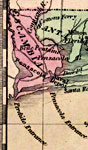
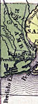
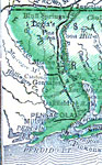
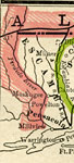
Escambia County,
1832 |
|
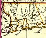
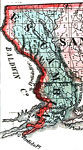
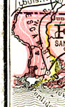
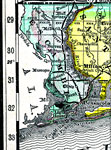
Escambia County,
1834 |
|
Escambia County,
1834 |
|
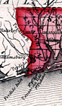
Detail - Florida,
1839 |
|
Detail - Map of the State of Florida,
1842 |
|
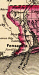
Escambia County,
1845 |
|
Escambia County,
1845 |
|
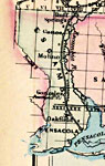
Escambia County,
1850 |
|
Escambia County,
1850 |
|
Escambia County,
1856 |
|
Escambia County,
1859 |
|
Escambia County,
1860 |
|
Escambia County,
1863 |
|
Escambia County,
1871 |
|
Escambia County,
1873 |
|
Escambia County,
1874 |
|
Escambia County,
1880 |
|
Escambia County,
1880 |
|
Escambia County,
1882 |
|
Escambia County,
1883 |
|
Escambia County,
1886 |
|
Escambia County,
1888 |
|
Escambia County,
1889 |
| Next | Last |
| FL Maps > County > Escambia |
Maps ETC
is a part of the
Educational Technology Clearinghouse
Produced by the
Florida Center for Instructional Technology
© 2007
College of Education
,
University of South Florida