|
|
|
| FL Maps > County > Columbia |
Click on a thumbnail image to view a full size version of that map.
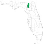
Columbia County is Florida's 16th county, established on February 4, 1832, from a segment of St. Johns County. It was named in honor of Christopher Columbus, the discoverer of America. Lake City, named after the abundance of lakes in the area, is the county seat. An earlier name of the city was Alligator, after Halpatter Tustenugee, an Indian chief known as the "alligator warrior."
For earlier maps of this area, visit the St. Johns County map gallery.
|
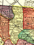
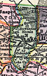
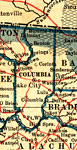
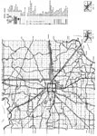
Columbia County,
1911 |
|
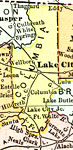
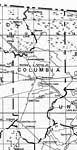
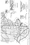
Columbia County,
1911 |
|
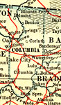
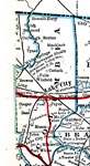
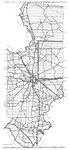
Columbia County,
1914 |
|
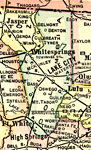
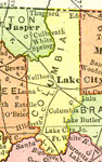
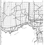
Columbia County,
1916 |
|
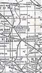
Columbia County,
1916 |
|
Columbia County,
1917 |
|
Columbia County,
1917 |
|
Columbia County,
1920 |
|
Columbia County,
1921 |
|
Columbia County,
1932 |
|
Columbia,
1936 |
|
North Columbia,
1936 |
|
Mid Columbia,
1936 |
|
South Columbia,
1936 |
|
Florida Waterways: Columbia County Outline,
2008 |
|
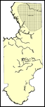
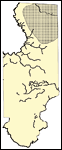
Locater Map of Columbia County,
2008 |

|
Clipart Collection: Columbia County Maps in 50 Colors,
2008 |

|
Plain Frames Collection: Columbia County Maps in 30 Colors,
2008 |

|
Fancy Frames Collection: Columbia County Maps in 30 styles,
2008 |

|
Florida Photo Collection: Columbia County Maps in 30 styles,
2008 |
|
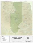
Florida Waterways: Columbia County ,
2008 |
|
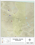
Sinkholes of Colmbia County, Florida,
2008 |
|
Florida Waterways: Columbia County Outline without Labels,
2008 |

|
Columbia "Abstract" Style Maps in 30 Styles,
2008 |
|
Columbia County "Fun" Maps in 30 Styles,
2008 |
| First | Previous | Next | Last |
| FL Maps > County > Columbia |
Maps ETC
is a part of the
Educational Technology Clearinghouse
Produced by the
Florida Center for Instructional Technology
© 2007
College of Education
,
University of South Florida