|
|
|
| FL Maps > County > Jackson |
Click on a thumbnail image to view a full size version of that map.
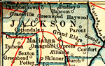
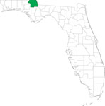
Jackson County is Florida's 3rd county, established on August 12, 1822, from a segment of Escambia County. It gains its name from Andrew Jackson (1767-1845), the 7th President of the United States (1829-1837), who had earlier served as Governor of the Territories of East and West Florida. Marianna, site of the 1864 Civil War Battle of Marianna, is the county seat.
For earlier maps of this area, visit the Escambia County map gallery.
|
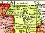
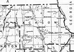
Jackson County,
1914 |
|
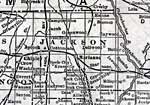
Jackson County,
1916 |
|
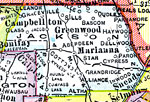
Jackson County,
1916 |
|
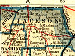
Jackson County,
1917 |
|
Jackson County,
1917 |
|
Jackson County,
1920 |

|
Jackson County,
1920 |
|
Jackson County,
1921 |
|
Jackson County,
1921 |
|
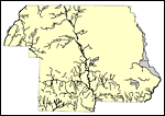
Jackson County,
1932 |
|
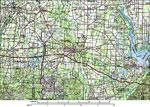
Jackson County,
1988 |
|
Jackson EPA Superfund Sites,
2008 |
|
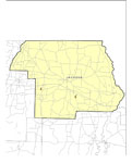
Locater Map of Jackson County,
2008 |
|
Clipart Collection: Jackson County Maps in 50 Colors,
2008 |
|
Plain Frames Collection: Jackson County Maps in 30 Colors,
2008 |
|
Fancy Frames Collection: Jackson County Maps in 30 styles,
2008 |

|
Florida Photo Collection: Jackson County Maps in 30 styles,
2008 |
|
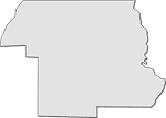
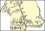
Florida Waterways: Jackson County Outline,
2008 |
|
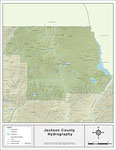
Florida Waterways: Jackson County ,
2008 |
|
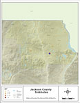
Sinkholes of Jackson County, Florida ,
2008 |
|
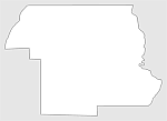
Florida Waterways: Jackson County Outline without Labels,
2008 |

|
Jackson "Abstract" Style Maps in 30 Styles,
2008 |

|
Jackson County "Fun" Maps in 30 Styles,
2008 |
|
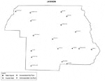
Jackson County Cities with Labels,
2009 |
|
Jackson County Cities Outline,
2009 |
| First | Previous | Next | Last |
| FL Maps > County > Jackson |
Maps ETC
is a part of the
Educational Technology Clearinghouse
Produced by the
Florida Center for Instructional Technology
© 2007
College of Education
,
University of South Florida