|
|
|
| FL Maps > County > Putnam |
Click on a thumbnail image to view a full size version of that map.
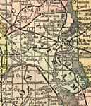
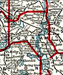
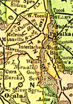
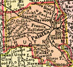
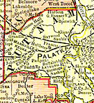
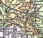
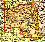
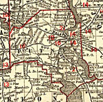
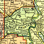
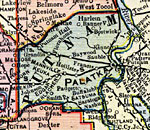
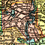
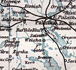
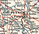
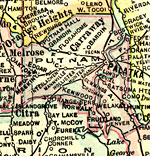
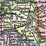
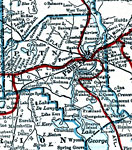
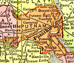
Putnam County is Florida's 28th county, established on January 13, 1849, from segments of St. Johns County and Alachua County. It gains its name from Benjamin Alexander Putnam (1801-1869), who was a soldier in the Seminole Indian War, served in the Florida Legislature, and was the first president of the Florida Historic Society. Palatka is the county seat.
For earlier maps of this area, visit the St. Johns County and Alachua County map galleries.
|
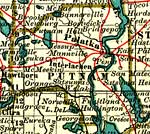
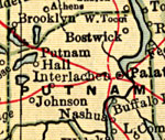
Putnam County,
1892 |
|
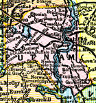
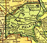
Putnam County,
1893 |
|
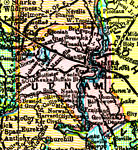
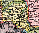
Putnam County,
1894 |
|
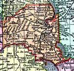
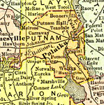
Putnam County,
1895 |
|
Putnam County,
1897 |
|
Putnam County,
1898 |
|
Putnam County,
1898 |
|
Putnam County,
1898 |
|
Putnam County,
1899 |
|
Putnam County,
1900 |
|
Putnam County,
1900 |
|
Florida Railroads - Putnam County,
1900 |
|
Putnam County,
1902 |
|
Putnam County,
1902 |
|
Putnam County,
1904 |
|
Putnam County,
1904 |
|
Putnam County,
1907 |
|
Putnam County,
1909 |
|
Putnam County,
1910 |
|
Putnam County,
1911 |
|
Putnam County,
1914 |
|
Putnam County,
1916 |
|
Putnam County,
1916 |
|
Putnam County,
1917 |
|
Putnam County,
1917 |
| First | Previous | Next | Last |
| FL Maps > County > Putnam |
Maps ETC
is a part of the
Educational Technology Clearinghouse
Produced by the
Florida Center for Instructional Technology
© 2007
College of Education
,
University of South Florida