|
|
|
| FL Maps > County > Santa Rosa |
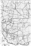
Click on a thumbnail image to view a full size version of that map.
Santa Rosa County is Florida's 21st county, established on February 18, 1842, from a segment of Escambia County. It gains its name from Santa Rosa Island, which was named for Saint Rosa de Viterbo, a Catholic saint. Milton is the county seat.
For earlier maps of this area, visit the Escambia County map gallery.
|
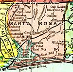
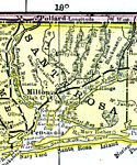
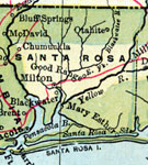
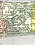
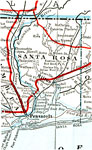
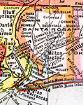
Santa Rosa County,
1898 |
|
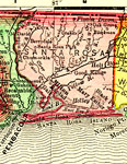
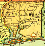
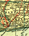
Santa Rosa County,
1898 |
|
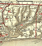
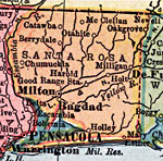
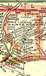
Santa Rosa County,
1898 |
|
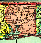
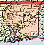
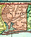
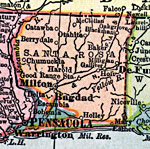
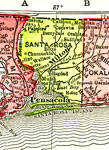
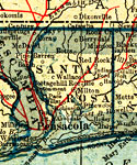
Santa Rosa,
1899 |
|
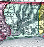
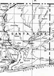
Santa Rosa County,
1900 |
|
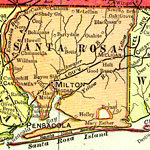
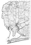
Santa Rosa County,
1900 |
|
Florida Railroads - Santa Rosa County,
1900 |
|
Santa Rosa County,
1902 |
|
Santa Rosa County,
1904 |
|
Santa Rosa County,
1907 |
|
Santa Rosa County,
1909 |
|
Santa Rosa County,
1910 |
|
Santa Rosa County,
1911 |
|
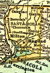
Santa Rosa County,
1914 |
|
Santa Rosa County,
1916 |
|
Santa Rosa County,
1916 |
|
Santa Rosa County,
1917 |
|
Santa Rosa County,
1917 |
|
Santa Rosa County,
1920 |
|
Santa Rosa County,
1920 |
|
Santa Rosa County,
1921 |
|
Santa Rosa County,
1921 |
|
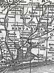
Santa Rosa County,
1932 |
|
Santa Rosa,
1940 |
|
North Santa Rosa,
1940 |
| First | Previous | Next | Last |
| FL Maps > County > Santa Rosa |
Maps ETC
is a part of the
Educational Technology Clearinghouse
Produced by the
Florida Center for Instructional Technology
© 2007
College of Education
,
University of South Florida