|
|
|
| FL Maps > Local > Bay |
Click on a thumbnail image to view a full size version of that map.
|
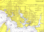
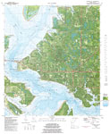
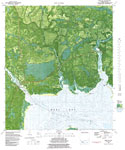
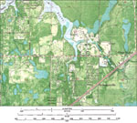
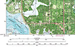
Panama City Detail 2,
1976 |
|
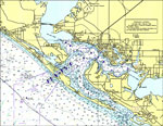
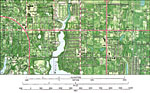
Panama City Detail,
1977 |
|
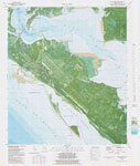
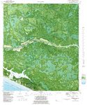
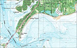
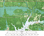
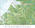
Long Point,
1982 |
|
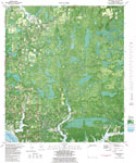
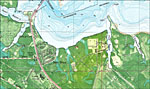
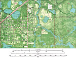
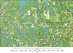
Springfield,
1982 |
|
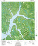
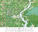
Panama City,
1982 |
|
Panama City Beach,
1982 |
|
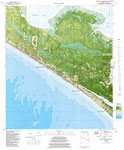
Laguna Beach,
1982 |
|
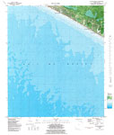
Southport,
1982 |
|
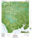
West Bay,
1982 |
|
Seminole Hills,
1982 |
|
Beacon Beach,
1982 |
|
Bayhead,
1982 |
|
Parker and Callaway,
1982 |
|
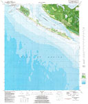
San Blas,
1982 |
|
Tyndall Air Force Base,
1982 |
|
Cedar Grove,
1982 |
|
College Point and Brannonville,
1982 |
|
Cooks Bayou,
1982 |
|
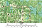
Hiland Park,
1982 |
|
Old Callaway,
1982 |
|
Bay Harbor and Parker,
1982 |
|
Springfield,
1982 |
|
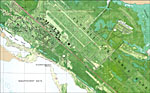
Panama City Bay County Airport,
1982 |
|
Baldwin,
1982 |
|
Bay Point and Delwood Beach,
1982 |
| First | Previous | Next | Last |
| FL Maps > Local > Bay |
Maps ETC
is a part of the
Educational Technology Clearinghouse
Produced by the
Florida Center for Instructional Technology
© 2007
College of Education
,
University of South Florida