|
|
|
| FL Maps > Local > Brevard |
Click on a thumbnail image to view a full size version of that map.
|
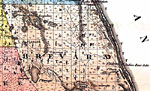
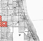
Brevard County - Upper,
1856 |
|
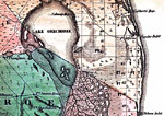
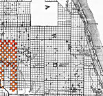
Brevard County - Lower,
1856 |
|
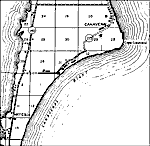
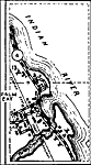
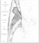
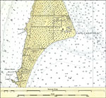
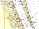
Coast Chart No. 61, Cape Canaveral,
1883 |
|
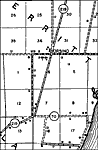
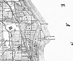
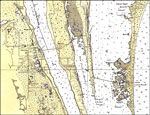
Brevard County - Northern portion,
1888 |
|
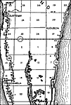
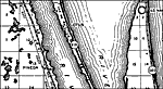
Brevard County - Middle portion,
1888 |
|
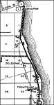
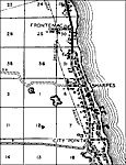
Brevard County - Southern portion,
1888 |
|
Cape Canaveral,
1931 |
|
Cocoa and Cocoa Beach,
1932 |
|
Melbourne, Florida,
1932 |
|
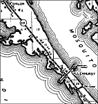
Allenhurst,
1936 |
|
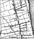
Aurantia,
1936 |
|
Bonaventure,
1936 |
|
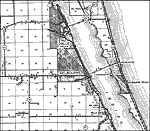
La Grange,
1936 |
|
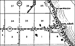
Malabar,
1936 |
|
Melbourne,
1936
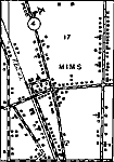
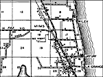
Mims,
1936 |
| Next | Last |
| FL Maps > Local > Brevard |
Maps ETC
is a part of the
Educational Technology Clearinghouse
Produced by the
Florida Center for Instructional Technology
© 2007
College of Education
,
University of South Florida