|
|
|
| FL Maps > Local > Martin |
Click on a thumbnail image to view a full size version of that map.
|
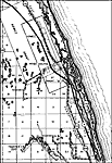
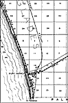
Gomez,
1936
Hobe Sound,
1936 |
|
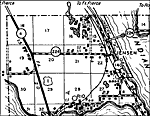
Indian Town,
1936
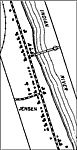
Jensen,
1936 |
|
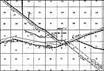
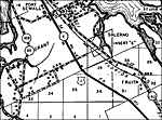
Salerno,
1936 |
|
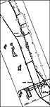
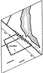
Salerno Insert,
1936
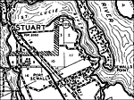
Stuart,
1936 |
|
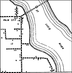
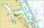
St. Lucie River,
1980 |
|
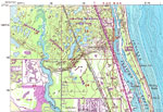
Jonathan Dickinson State Park,
1983 |
| FL Maps > Local > Martin |
Maps ETC
is a part of the
Educational Technology Clearinghouse
Produced by the
Florida Center for Instructional Technology
© 2007
College of Education
,
University of South Florida