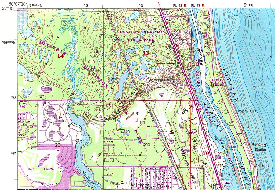
Description: This is a US Geological Survey and National Ocean Service map of Jonathan Dickinson State Park, FL, current to 1983. The map shows both topographic and bathymetric features. Topographic contour lines are shown in 5-feet intervals and bathymetric contour lines in 1-meter intervals with supplementary 0.5-meter contours. Bathymetric datum is mean low water. The map shows both positive (hills) and negative (sinkholes) surface features. Man made structures such as county roads, parks, golf courses, cemeteries, and residences are included. Natural features include lakes, marshes, and conch bars. Also shown is Section Township Range (STR) based on the Tallahassee baseline and meridian. This information is not intended for navigational purposes. The National Geodetic Vertical Datum of 1929 is used in this map. The projection used 1927 North American Datum with reference on converting to North American Datum 1983. Scale: 1:24,000. Key to NOAA maps. PLEASE NOTE: This historical data is not to be used for navigation or navigation planning. The Florida Center for Instructional Technology (FCIT) does not assume responsibility for the improper use of these data.
Place Names: Martin, Atlantic Ocean, Jonathan Dickinson State Park, Jupiter Island, Blowing Rocks, Jensen Beach, Jupiter Sound
ISO Topic Categories: boundaries, location, inlandWaters, oceans, transportation, elevation
Keywords: Jonathan Dickinson State Park, physical, political, transportation, historical, hydrological, physical features, topographical, county borders, roads, railroads, water depths, boundaries, location, inlandWaters, oceans, transportation, elevation, Polyconic, Transverse_Mercator, 1983
Source: U. S. Coast and Geodetic Survey and National Ocean Service, Jupiter Quadrangle (Reston, VA: United States Geological Survey, 1983)
Map Credit: Courtesy the U. S. National Oceanic and Atmospheric Administration. |
|