|
|
|
| FL Maps > Local > Monroe |
Click on a thumbnail image to view a full size version of that map.
|
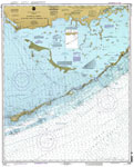
Florida Keys, Alligator Reef to Sombrero Key,
1999 |
|
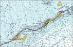
Long Key,
1999 |
|
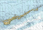
Vaca Key,
1999 |
|
Plantation Key's Coral Community,
October 25, 2000 |

|
Florida Keys' Coral Community,
October 25, 2000 |

|
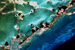
Coral Community on US Highway 1,
October 25, 2000 |
| First | Previous |
| FL Maps > Local > Monroe |
Maps ETC
is a part of the
Educational Technology Clearinghouse
Produced by the
Florida Center for Instructional Technology
© 2007
College of Education
,
University of South Florida