|
|
|
| FL Maps > Local > Palm Beach |
Click on a thumbnail image to view a full size version of that map.
|
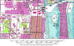
West Palm Beach ,
1983 |
|
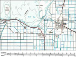
Belle Glade,
1985 |
|
Lake Worth and Vicinity,
1985 |
|
Jupiter,
1985 |
|
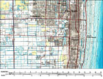
Riviera Beach,
1985 |
|
Pahokee, Florida,
1985 |
|
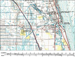
West Palm Beach and Vicinity,
1985 |
| First | Previous |
| FL Maps > Local > Palm Beach |
Maps ETC
is a part of the
Educational Technology Clearinghouse
Produced by the
Florida Center for Instructional Technology
© 2007
College of Education
,
University of South Florida