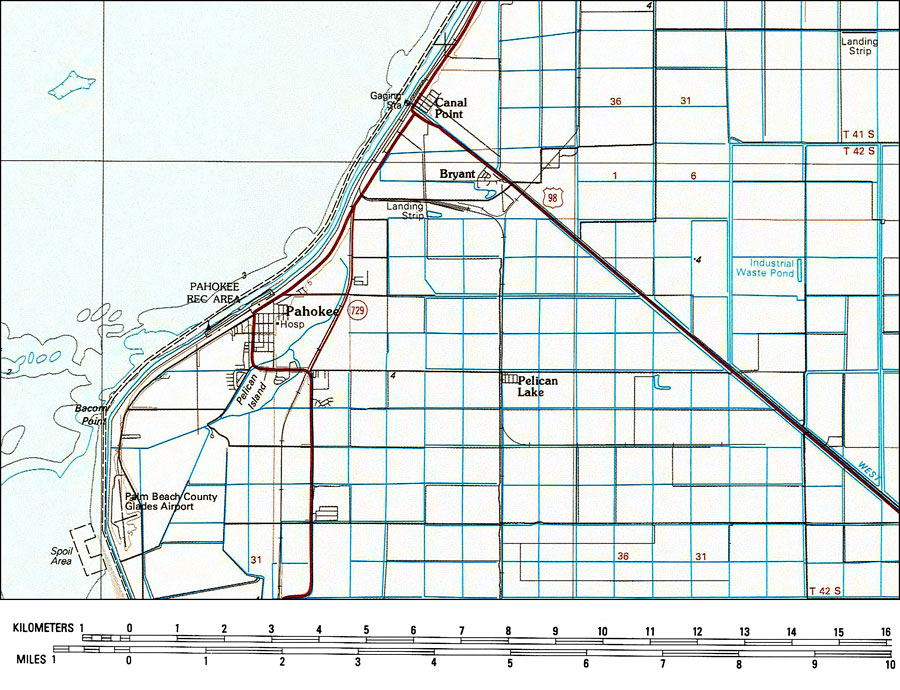
Description: A portion of the US Geological Survey and National Ocean Service 30X60 minute West Palm Beach Quadrangle current to 1985 showing the area around Pahokee on the east shore of Lake Okeechobee. This topographic-bathymetric map shows elevations and depths in meters. Contour interval 5 meters. Bathymetric contour interval 2 meters. Map also includes roads, railroads, waterways, parks, wetlands, and agricultural lands. Map divided into townships and ranges. North American 1929 Datum used. The map scale is 1:100,000, metric. N.O.A.A. map reference: 26080_E1_TB_100-00-1985. Key to NOAA maps. PLEASE NOTE: This historical data is not to be used for navigation or navigation planning. The Florida Center for Instructional Technology (FCIT) does not assume responsibility for the improper use of these data.
Place Names: Palm Beach, Pahokee, �Lake Okeechobee, �Bryant, �Canal Point, �Pelican Lake
ISO Topic Categories: transportation, �oceans, �inlandWaters, �elevation
Keywords: Pahokee, Florida, physical, �political, �transportation, �hydrological, physical features, �topographical, local jurisdictions, roads, �railroads, �water routes, water depths, transportation, �oceans, �inlandWaters, �elevation, Transverse_Mercator, 1985
Source: US Geological Survey and National Ocean Service, West Palm Beach Quadrangle (Reston, VA: US Geological Survey, 1985)
Map Credit: Courtesy the U.S. National Oceanic and Atmospheric Administration |
|