Maps Site map
  FL Maps > Local > Sumter
Site Map  

City and Local Maps for Sumter County

Click on a thumbnail image to view a full size version of that map.

  Record   1   to   16  of   16

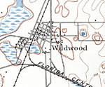
Wildwood, 1893
This is a map of Wildwood in Sumter County, Florida courtesy of the Pennsylvania State University map library. It shows elevation, roads, railroads, marshes, inland waters and locations of dwellings. Detail view from a United States Geological Survey...

Bamboo, 1936
This is a detailed map of the city Bamboo in Sumter County, Florida. Section Township Range (STR) is shown. This map shows state roads, railroads such as the Seaboard Air Line Railway, inland water, county lines, businesses, farm units and dwellings ...

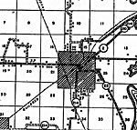
Bushnell, 1936
This is a detailed map of the city Bushnell in Sumter County, Florida. Section Township Range (STR) is shown. This map shows state roads, railroads, county seat, an airport, tenant houses, cemeteries, businesses, churches, turpentine still, farm unit...

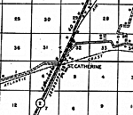
St. Catherine, 1936
This is a detailed map of the city St. Catherine in Sumter County, Florida. Section Township Range (STR) is shown. This map shows state roads, railroads, a school, a post office, a church, a cemetery, turpentine still, a business, farm units and dwel...

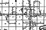
Center Hill, 1936
This is a detailed map of the city Center Hill in Sumter County, Florida. Section Township Range (STR) is shown. This map shows state roads, other roads, railroads, inland water, corporate land, tenant houses, a church, farm units and dwellings other...

Coleman, 1936
This is a detailed map of the city Coleman in Sumter County, Florida. Section Township Range (STR) is shown. This map shows state roads, railroads, inland water, corporate lines, a church, a cemetery, businesses, a school, farm units and dwellings ot...

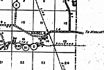
Mabel, 1936
This is a detailed map of the city Mabel in Sumter County, Florida. Section Township Range (STR) is shown. This map shows state roads, gravel or stone roads, railroads, inland water, county lines, businesses, turpentine still, farm units and dwelling...

Oxford, 1936
This is a detailed map of the city Oxford in Sumter County, Florida. Section Township Range (STR) is shown. This map shows state roads, bituminous roads, railroads, inland water, tenant houses, schools, a church, farm units and dwellings other than f...

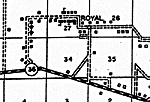
Royal, 1936
This is a detailed map of the city Royal in Sumter County, Florida. Section Township Range (STR) is shown. This map shows state roads, bituminous roads, schools, tenant houses, a church, a cemetery, a business, farm units and dwellings other than far...

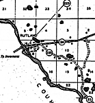
Rutland, 1936
This is a detailed map of the city Rutland in Sumter County, Florida. Section Township Range (STR) is shown. This map shows state roads, bituminous roads, primitive roads, bridges, inland water, businesses, sawmill, farm units and dwellings other tha...

Sumterville, 1936
This is a detailed map of the city Sumterville in Sumter County, Florida. Section Township Range (STR) is shown. This map shows state roads, railroads, inland water, bituminous roads, other cities such as Panasoffkee, post offices, churches, business...

Tarrytown, 1936
This is a detailed map of the city Tarrytown in Sumter County, Florida. Section Township Range (STR) is shown. This map shows state roads, railroads, corporate lines, tenant houses, businesses, schools, churches, a cemetery, farm units and dwellings ...

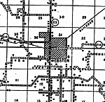
Webster, 1936
This is a detailed map of the city Webster in Sumter County, Florida. Section Township Range (STR) is shown. This map shows state roads, railroads, corporate lines, bituminous roads, tenant houses, churches, a cemetery, farm units and dwellings other...

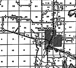
Wildwood, 1936
This is a detailed map of the city Wildwood in Sumter County, Florida. Section Township Range (STR) is shown. This map shows state roads, railroads, inland water, schools, a church, cemeteries, tenant houses, businesses, farm units and dwellings othe...

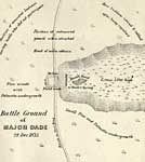
Battle Ground of Major Dade, December 28, 1835
This map shows the Battle Ground of Major Dade. The positions of the troops are noted. Also noted are areas of pine woods, palmetto undergrowth, and tall grass....

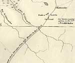
Detail Map of Major Dade Battle Ground: Dades Battle Ground, December 28, 1835
This map shows the Battle Ground of Major Dade, in particular the Pelaklekaha and Okahumky areas. The positions of the troops are noted. Also shown is the military road and inland waters....


  FL Maps > Local > Sumter
Site Map  

Maps ETC is a part of the Educational Technology Clearinghouse
Produced by the Florida Center for Instructional Technology © 2007
College of Education , University of South Florida