|
|
|
| FL Maps > Region > 1920-1949 |
|
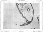
Lake Okeechobee,
1948 |
| First | Previous |
| FL Maps > Region > 1920-1949 |
Maps ETC
is a part of the
Educational Technology Clearinghouse
Produced by the
Florida Center for Instructional Technology
© 2007
College of Education
,
University of South Florida