|
|
|
| FL Maps > County > Broward |
Click on a thumbnail image to view a full size version of that map.
Broward County is Florida's 51st county, established on April 30, 1915, from a segment of Dade County (Miami-Dade). It gains its name from Napoleon B. Broward, the Governor of Florida from 1905-1909. Fort Lauderdale, named after Major William Lauderdale of Tennessee, is the county seat. On March 5, 1838, the battalion he commanded during the Second Seminole War established a post, later given his name, on the New River.
For earlier maps of this area, visit the Dade County (Miami-Dade) map gallery.
|
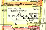
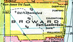
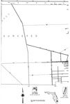
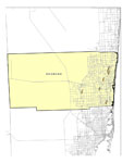
Broward County,
1916 |
|
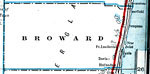
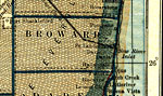
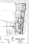
Broward County,
1917 |
|
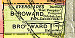
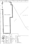
Broward County,
1917 |
|
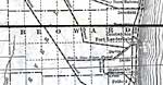
Broward County,
1920 |
|
Broward County,
1921 |
|
Broward County,
1921 |
|
Broward County,
1932 |
|
Broward,
1940 |
|
Central Broward,
1940 |
|
East Broward,
1940 |
|
West Broward,
1940 |
|
Florida Waterways: Broward County Outline,
2008 |
|
Broward EPA Superfund Sites,
2008 |
|
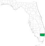
Locater Map of Broward County,
2008 |

|
Clipart Collection: Broward County Maps in 50 Colors,
2008 |

|
Plain Frames Collection: Broward County Maps in 30 Colors,
2008 |
|
Fancy Frames Collection: Broward County Maps in 30 styles,
2008 |

|
Florida Photo Collection: Broward County Maps in 30 styles,
2008 |
|
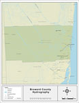
Florida Waterways: Broward County ,
2008 |
|
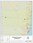
Sinkholes of Broward County, Florida,
2008 |
|
Florida Waterways: Broward County Outline without Labels,
2008 |

|
Broward "Abstract" Style Maps in 30 Styles,
2008 |

|
Broward County "Fun" Maps in 30 Styles,
2008 |
|
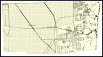
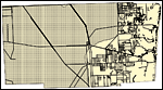
Broward County Cities with Labels,
2009 |
|
Broward County Cities Outline,
2009 |
| Next | Last |
| FL Maps > County > Broward |
Maps ETC
is a part of the
Educational Technology Clearinghouse
Produced by the
Florida Center for Instructional Technology
© 2007
College of Education
,
University of South Florida