|
|
|
| FL Maps > County > Citrus |
Click on a thumbnail image to view a full size version of that map.
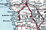
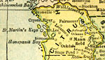
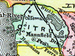
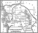
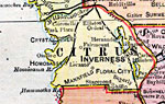
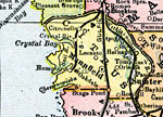
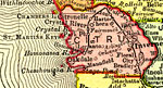
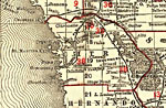
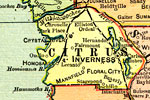
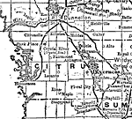
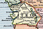
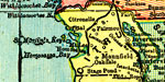
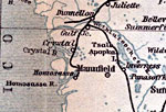
Citrus County is Florida's 44th county, established on June 2, 1887, from a segment of Hernando County. It gains its name as a tribute to the main agricultural product in Florida. Inverness, after the ancient capital of the Scottish Highlands, is the county seat. Of interest historically, the Crystal River Indian mounds are located in this county.
For earlier maps of this area, visit the Hernando County map gallery.
|
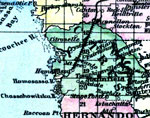
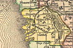
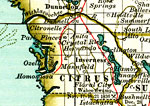
Citrus County,
1886 |
|
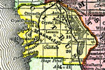
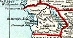
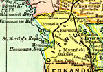
Citrus County,
1888 |
|
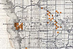
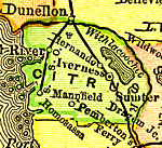
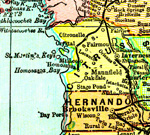
Citrus County,
1888 |
|
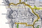
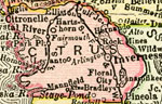
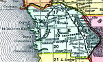
Citrus County,
1888 |
|
Citrus County,
1889 |
|
Citrus County,
1890 |
|
Citrus County,
1890 |
|
Citrus County,
1890 |
|
Citrus County,
1892 |
|
Citrus County,
1893 |
|
Citrus County,
1894 |
|
Citrus County,
1895 |
|
Citrus County,
1897 |
|
Citrus County,
1898 |
|
Citrus County,
1898 |
|
Citrus County,
1898 |
|
Citrus County,
1899 |
|
Citrus County,
1900 |
|
Citrus County,
1900 |
|
Florida Railroads - Citrus County,
1900 |
|
Citrus County,
1902 |
|
Citrus County,
1902 |
|
Citrus County,
1902 |
|
Citrus County,
1904 |
|
Citrus County,
1904 |
| Next | Last |
| FL Maps > County > Citrus |
Maps ETC
is a part of the
Educational Technology Clearinghouse
Produced by the
Florida Center for Instructional Technology
© 2007
College of Education
,
University of South Florida