|
|
|
| FL Maps > County > Collier |
Click on a thumbnail image to view a full size version of that map.
Collier County is Florida's 62nd county, established on May 8, 1923, from a segment of Lee County. It gains its name from Barron G. Collier, an advertising tycoon who developed much of the land in the southern part of the state. Naples, named after a city in Italy with the same name, is the county seat.
For earlier maps of this area, visit the Lee County map gallery.
|
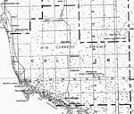
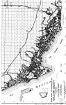
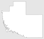
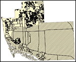
Collier County,
1932 |
|
Collier,
1936 |
|
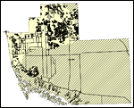
North Collier,
1936 |
|
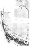
Mid Collier,
1936 |
|
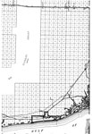
South Collier,
1936 |
|
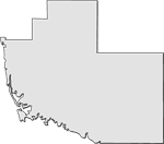
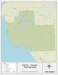
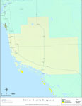
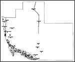
Florida Waterways: Collier County Outline,
2008 |
|
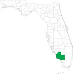
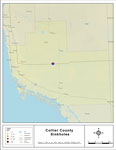
Locater Map of Collier County,
2008 |
|
Clipart Collection: Collier County Maps in 50 Colors,
2008 |
|
Plain Frames Collection: Collier County Maps in 30 Colors,
2008 |
|
Fancy Frames Collection: Collier County Maps in 30 styles,
2008 |

|
Florida Photo Collection: Collier County Maps in 30 styles,
2008 |
|
Florida Waterways: Collier County ,
2008 |
|
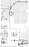
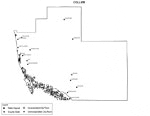
Sinkholes of Collier County, Florida,
2008 |
|
Florida Waterways: Collier County Outline without Labels,
2008 |
|
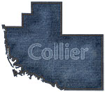
Collier "Abstract" Style Maps in 30 Styles,
2008 |
|
Collier County "Fun" Maps in 30 Styles,
2008 |
|
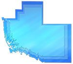
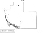
Florida Seagrass: Collier,
2008 |
|
Collier County Cities with Labels,
2009 |
|
Collier County Cities Outline,
2009 |
|
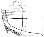
Collier County Road Network- Black and White,
2009 |
|
Collier County Railway Network- Black and White,
2009 |
|
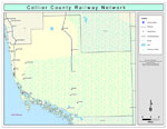
Collier County Railway Network- Color,
2009 |
|
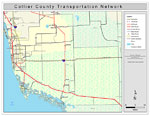
Collier County Road Network- Color,
2009 |
| FL Maps > County > Collier |
Maps ETC
is a part of the
Educational Technology Clearinghouse
Produced by the
Florida Center for Instructional Technology
© 2007
College of Education
,
University of South Florida