|
|
|
| FL Maps > County > Marion |
Click on a thumbnail image to view a full size version of that map.
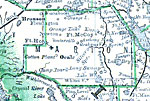
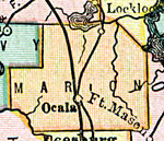
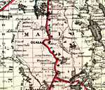
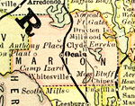
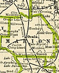
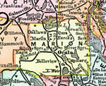
Marion County is Florida's 24th county, established on March 14, 1844, from segments of Alachua County and Mosquito County (Orange County). It gains its name from General Francis Marion, known as the "Swamp Fox" during the Revolutionary War because of his guerrilla tactics against the British forces. Ocala is the county seat.
For earlier maps of this area, visit the Alachua County and Mosquito County (Orange County) map galleries.
|
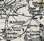
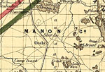
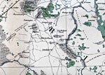
Marion County,
1850 |
|
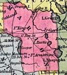
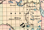
Marion County,
1850 |
|
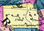
Marion County,
1856 |
|
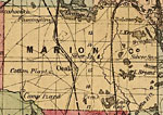
Marion County,
1857 |
|
Marion County,
1859 |
|
Marion County,
1860 |
|
Marion,
1860 |
|
Marion County,
1863 |
|
Marion County,
1865 |
|
Marion County,
1871 |
|
Marion County,
1873 |
|
Marion County,
1874 |
|
Marion County,
1880 |
|
Marion County,
1880 |
|
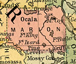
Marion County,
1882 |
|
Marion County,
1883 |
|
Marion County,
1886 |
|
Marion County,
1886 |
|
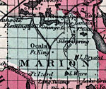
Marion County,
1888 |
|
Marion County,
1888 |
|
Marion County,
1888 |
|
Marion County,
1889 |
|
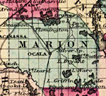
Marion County,
1890 |
|
Marion County,
1890 |
|
Marion County,
1890 |
| Next | Last |
| FL Maps > County > Marion |
Maps ETC
is a part of the
Educational Technology Clearinghouse
Produced by the
Florida Center for Instructional Technology
© 2007
College of Education
,
University of South Florida