|
|
|
| FL Maps > County > Alachua |
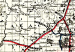
Click on a thumbnail image to view a full size version of that map.
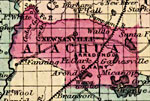
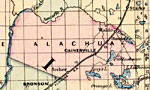
Alachua County is Florida's 9th county, established on December 29, 1824, from a segment of St. Johns County. It gains its name from a Spanish ranch that existed in the area during the late 1600s. It is believed that the name comes from a large chasm that is located northwest of Gainesville. Gainesville is the county seat.
For earlier maps of this area, visit the St. Johns County map gallery.
|
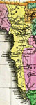
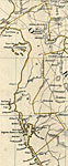
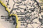
Detail - Geographical, statistical, and historical map of Florida,
1827 |
|
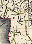
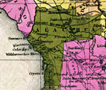
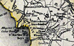
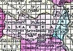
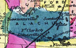
Alachua County,
1830 |
|
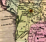
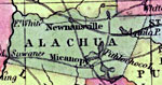
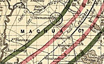
Alachua County,
1832 |
|
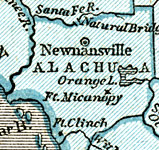
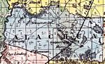
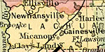
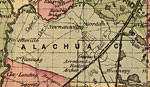
Alachua County,
1834 |
|
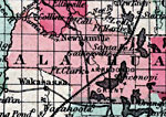
Alachua County,
1834 |
|
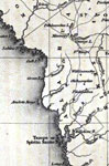
Detail - Florida,
1839 |
|
Detail - Map of the State of Florida,
1842 |
|
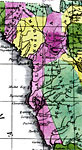
Alachua County,
1845 |
|
Alachua County,
1845 |
|
Alachua County,
1850 |
|
Alachua County,
1850 |
|
Alachua County,
1856 |
|
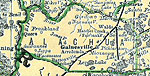
Alachua County,
1857 |
|
Alachua County,
1859 |
|
Alachua,
1860 |
|
Alachua County,
1860 |
|
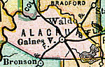
Alachua County,
1863 |
|
Alachua County,
1864 |
|
Alachua County,
1865 |
|
Alachua County,
1871 |
|
Alachua County,
1873 |
|
Alachua County,
1874 |
|
Alachua County,
1880 |
|
Alachua County,
1880 |
|
Alachua County,
1882 |
| Next | Last |
| FL Maps > County > Alachua |
Maps ETC
is a part of the
Educational Technology Clearinghouse
Produced by the
Florida Center for Instructional Technology
© 2007
College of Education
,
University of South Florida