|
|
|
| FL Maps > County > Bradford |
(Formerly New River County, 1858-1861)
Click on a thumbnail image to view a full size version of that map.
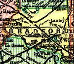
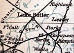
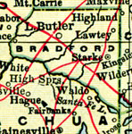
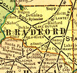
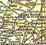
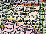
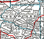
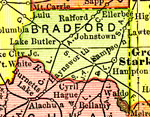
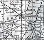
Bradford County is Florida's 36th county, established on December 21, 1858, from segments of Columbia and Alachua counties. When originally established, it was named New River County, after a river of the same name. It was renamed after Captain Richard Bradford on December 6, 1861, honoring the first officer from Florida killed in the Civil War. He died in the Battle of Santa Rosa Island on October 9, 1861. This battle featured approximately 1200 Confederate soldiers unsuccessfully attempting to surprise Union camps and capture Fort Pickens. Starke, possibly named after Governor Madison Starke Perry, 1857-1861, is the county seat.
For earlier maps of this area, visit the Columbia county and Alachua county map galleries.
|
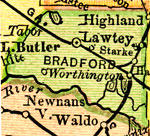
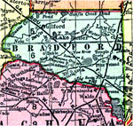
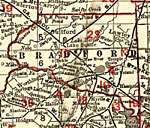
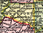
Bradford County,
1894 |
|
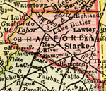
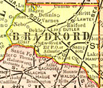
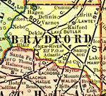
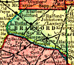
Bradford County,
1895 |
|
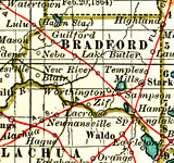
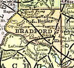
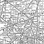
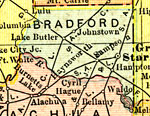
Bradford County,
1897 |
|
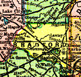
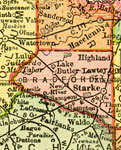
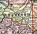
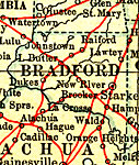
Bradford County,
1898 |
|
Bradford County,
1898 |
|
Bradford County,
1899 |
|
Bradford County,
1900 |
|
Bradford County,
1900 |
|
Florida Railroads - Bradford County,
1900 |
|
Bradford County,
1902 |
|
Bradford County,
1902 |
|
Bradford County,
1902 |
|
Bradford County,
1904 |
|
Bradford County,
1904 |
|
Bradford County,
1907 |
|
Bradford County,
1909 |
|
Bradford County,
1910 |
|
Bradford County,
1911 |
|
Bradford County,
1911 |
|
Bradford County,
1914 |
|
Bradford County,
1916 |
|
Bradford County,
1916 |
|
Bradford County,
1917 |
|
Bradford County,
1917 |
|
Bradford County,
1920 |
| First | Previous | Next | Last |
| FL Maps > County > Bradford |
Maps ETC
is a part of the
Educational Technology Clearinghouse
Produced by the
Florida Center for Instructional Technology
© 2007
College of Education
,
University of South Florida